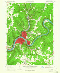
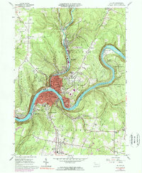
1963 Map of Oil City
USGS Topo · Published 1964About this map
The Allegheny River defines the industrial and geographic character of this Pennsylvania region, winding through a landscape shaped by the 1960s oil and rail economy. Oil City sits at the heart of the map, showing dense urban development at the confluence of Cherrytree Creek and the river. Northward, the borough of Rouseville remains a distinct center of activity, while the surrounding hillsides are dotted with numerous small settlements like Siverly, McClintock, and Woodland Heights.
Find a feature on this map
64 named features on this map. Tap any name to fly to it.
Don’t see what you’re looking for? This feature index may not catch every label — zoom into the map to look around manually.
Map Details
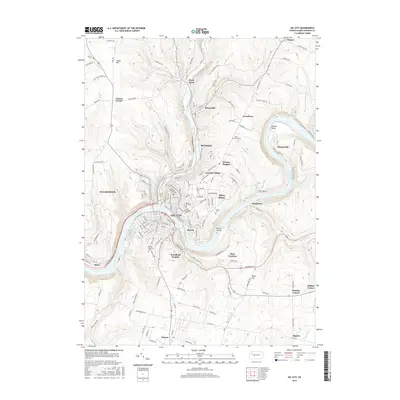
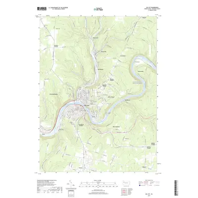
Editions of this 1963 Oil City Map
3 editions found

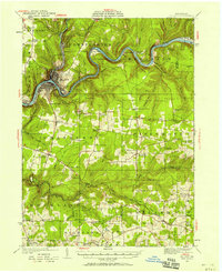
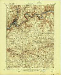
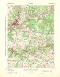
Historical Maps of Oil City Through Time
10 maps found
1922 Oil City
Venango County, PA
1924 Oil City
Venango County, PA
1943 Oil City
Venango County, PA
1963 Oil City
Venango County, PA

1983 Oil City
Venango County, PA

2010 Oil City
Venango County, PA

2013 Oil City
Venango County, PA
2016 Oil City
Venango County, PA
2019 Oil City
Venango County, PA
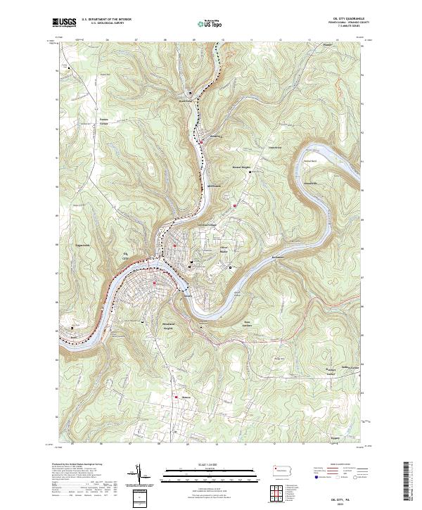
2023 Oil City
Venango County, PA