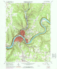
1963 Map of Oil City
USGS Topo · Published 1977About this map
The industrial and riverine character of Venango County is deeply etched into this survey, centered on the confluence of Cherry Creek and the Allegheny River. The landscape is dominated by the dense urban footprint of Oil City, which spreads from the riverbanks up into the surrounding hills of Woodland Heights and Grandview. To the north, the petroleum heritage of the region is evident in the settlements of Rouseville and Rynd Farm, connected by the rails of the Penn Central.
Find a feature on this map
76 named features on this map. Tap any name to fly to it.
Don’t see what you’re looking for? This feature index may not catch every label — zoom into the map to look around manually.
Map Details
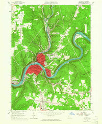
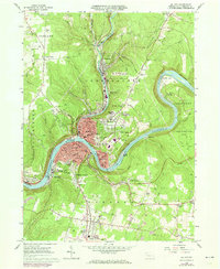
Editions of this 1963 Oil City Map
3 editions found
Other maps of this area

1909 · Franklin
USGS Topo · 1:62,500

1911 · Franklin
USGS Topo · 1:62,500

1922 · Oil City
USGS Topo · 1:48,000

1924 · Oil City
USGS Topo · 1:62,500

1927 · Townville
USGS Topo · 1:48,000

1927 · Titusville
USGS Topo · 1:62,500

1932 · Townville
USGS Topo · 1:62,500

1933 · Titusville
USGS Topo · 1:62,500

1943 · Oil City
USGS Topo · 1:62,500

1945 · Townville
USGS Topo · 1:62,500