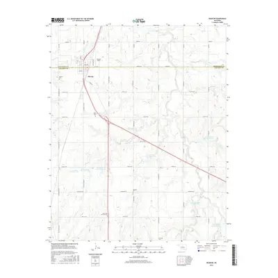
2016 Map of Okarche
USGS Topo · Published 2016About this map
The town of Okarche straddles the boundary between Kingfisher and Canadian counties, serving as a focal point for this agrarian landscape. This modern survey illustrates a meticulously organized section-line road grid, including Co Line Rd and N Reformatory Rd, which facilitates access to scattered homesteads and agricultural operations. The area is significantly defined by water management infrastructure along Uncle Johns Cr, evidenced by a series of numbered reservoirs such as Uncle John Creek Site 4 Reservoir and Uncle John Cr Site 7 Reservoir. Genealogy researchers will find substantial value in the numerous burial grounds recorded across the quadrangle, including the Beecham Cem, Menronville Mennonite Cem, and the Holy Trinity Cem located just south of the main settlement near the Okarche Airport.
Find a feature on this map
50 named features on this map. Tap any name to fly to it.
Don’t see what you’re looking for? This feature index may not catch every label — zoom into the map to look around manually.
Map Details
Editions of this 2016 Okarche Map
This is the sole edition of this map. No revisions or reprints were ever made.
Other maps of this area
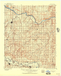
1892 · Kingfisher
USGS Topo · 1:125,000
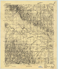
1893 · Fort Reno
USGS Topo · 1:62,500
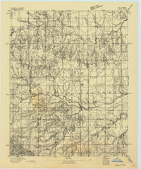
1893 · Loyal
USGS Topo · 1:62,500
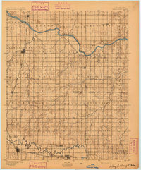
1895 · Kingfisher
USGS Topo · 1:125,000
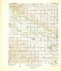
1941 · Fort Reno
USGS Topo · 1:62,500
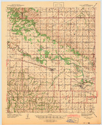
1942 · Fort Reno
USGS Topo · 1:62,500
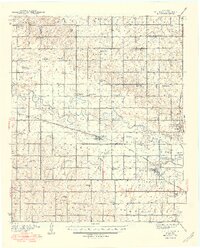
1949 · Fort Reno
USGS Topo · 1:62,500
1954 · Oklahoma City
USGS Topo · 1:250,000

1955 · Clinton
USGS Topo · 1:250,000

1957 · Clinton
USGS Topo · 1:250,000