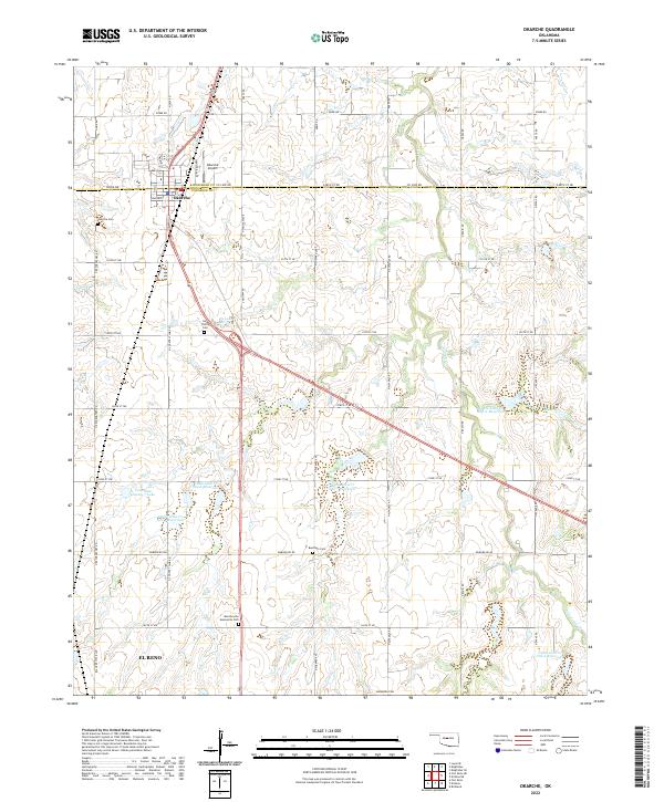
2022 Map of Okarche
USGS Topo · Published 2022About this map
Okarche straddles the Kingfisher Co Canadian Co line, serving as a hub for the surrounding agricultural prairie at the time of this 2022 survey. The landscape is defined by the winding course of Uncle Johns Cr, which feeds a series of numbered water management structures including Uncle John Cr Site 5 Reservoir and Uncle John Cr Site 11 Reservoir. These reservoirs, along with Canadian County 7 Lake, reflect a modern drainage and conservation network integrated into the section-line road grid.
Find a feature on this map
100 named features on this map. Tap any name to fly to it.
Don’t see what you’re looking for? This feature index may not catch every label — zoom into the map to look around manually.
Map Details
Editions of this 2022 Okarche Map
This is the sole edition of this map. No revisions or reprints were ever made.
Other maps of this area

1892 · Kingfisher
USGS Topo · 1:125,000

1893 · Fort Reno
USGS Topo · 1:62,500

1893 · Loyal
USGS Topo · 1:62,500

1895 · Kingfisher
USGS Topo · 1:125,000

1941 · Fort Reno
USGS Topo · 1:62,500

1942 · Fort Reno
USGS Topo · 1:62,500

1949 · Fort Reno
USGS Topo · 1:62,500

1954 · Oklahoma City
USGS Topo · 1:250,000

1955 · Clinton
USGS Topo · 1:250,000

1957 · Clinton
USGS Topo · 1:250,000