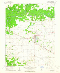
1962 Map of Okawville
USGS Topo · Published 1963About this map
The Kaskaskia River snakes through the northern reach of this quadrangle, defining a complex landscape of oxbows and backwaters such as Swan Lake, Horseshoe Lake, and Clear Lake. This riparian corridor, marking the border between Clinton and Washington Counties, is flanked by numerous sloughs and ponds that illustrate the natural shifting of the river channel over time. South of the bottomlands, the terrain transitions to the agricultural prairie of Okawville and Venedy townships, where the human footprint is defined by a grid of farmstead roads and the path of the Louisville and Nashville railroad.
Find a feature on this map
59 named features on this map. Tap any name to fly to it.
Don’t see what you’re looking for? This feature index may not catch every label — zoom into the map to look around manually.
Map Details
Editions of this 1962 Okawville Map
2 editions found
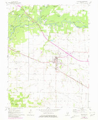
Other maps of this area

1906 · Breese
USGS Topo · 1:62,500

1907 · Breese
USGS Topo · 1:62,500

1910 · Carlyle
USGS Topo · 1:62,500

1910 · Okawville
USGS Topo · 1:62,500

1931 · Hoyleton
USGS Topo · 1:48,000

1932 · Nashville
USGS Topo · 1:62,500

1936 · Nashville
USGS Topo · 1:62,500

1940 · Okawville
USGS Topo · 1:62,500

1948 · Carlyle
USGS Topo · 1:62,500
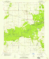
1957 · Venedy
USGS Topo · 1:24,000