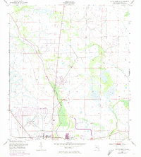
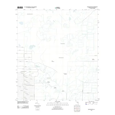
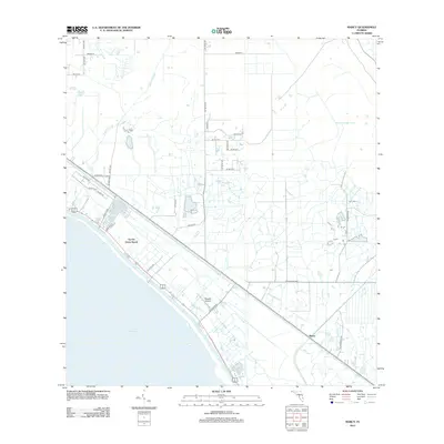
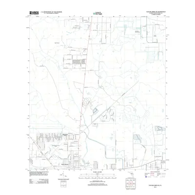
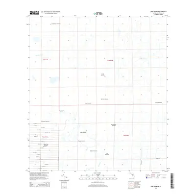
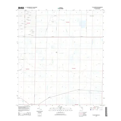
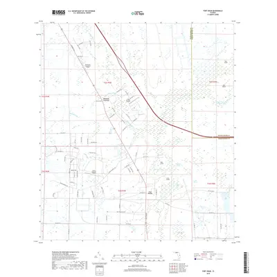
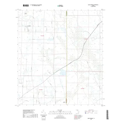
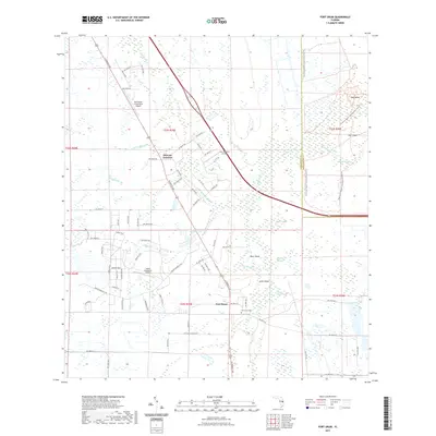
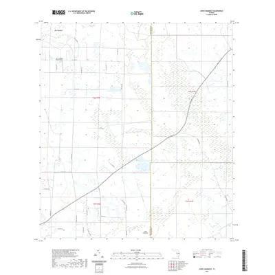
1953 Map of Okeechobee 1 SW
USGS Topo · Published 1983About this map
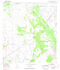
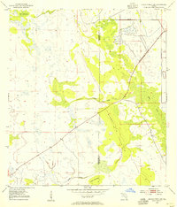
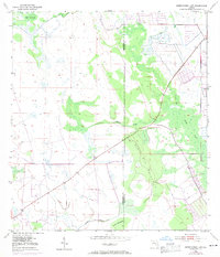
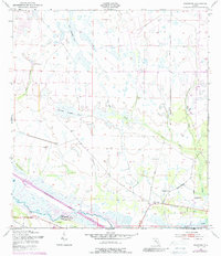
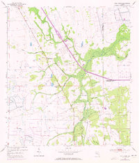
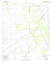
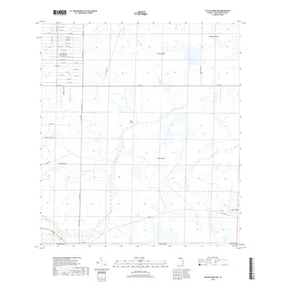
Negro Jim Scrub dominates the central landscape of this Florida interior, showing the interface between the dense hammocks and the water systems of the region. Surveyed in the early 1950s with later revisions, the map reveals a sparsely settled terrain defined by drainage and access projects. A solitary Landing Field and several Private roads indicate the large-scale landholdings common to the area during this era. The presence of a Spoil Bank and a Levee near the northeast corner suggests the early infrastructure of water control and land reclamation, while the boundary between Okeechobee Co and St Lucie Co runs through the heart of the wetlands. Natural landmarks like Dark Hammock, Jones Hammock, and the winding course of Cypress Creek provide essential reference points for researchers studying the original ecology of the Everglades-adjacent landscape.
Find a feature on this map
10 named features on this map. Tap any name to fly to it.
Don’t see what you’re looking for? This feature index may not catch every label — zoom into the map to look around manually.
Map Details
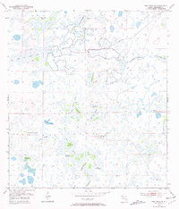
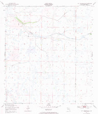
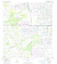
Editions of this 1953 Okeechobee 1 SW Map
4 editions found
Historical Maps of Saint Lucie County Through Time
72 maps found
1953 Basinger
Okeechobee County, FL
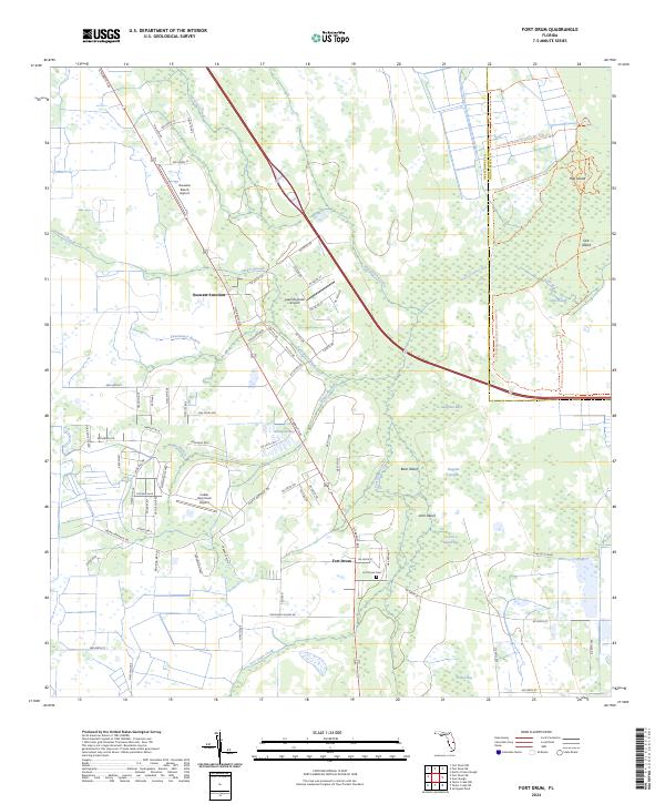
1953 Fort Drum
Okeechobee County, FL
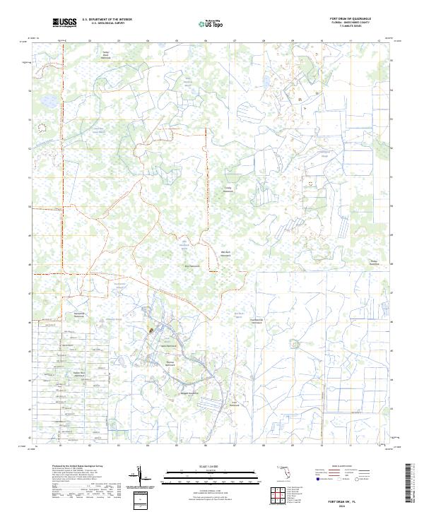
1953 Fort Drum SW
Okeechobee County, FL
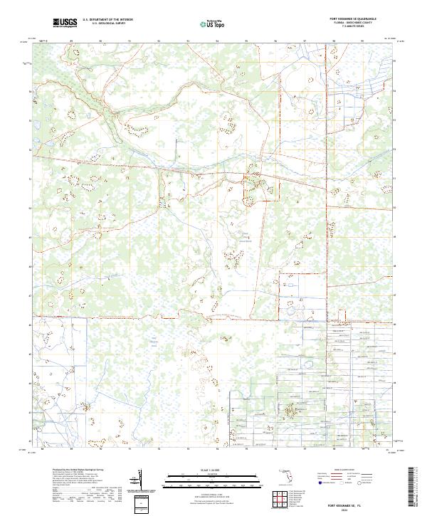
1953 Fort Kissimmee SE
Okeechobee County, FL
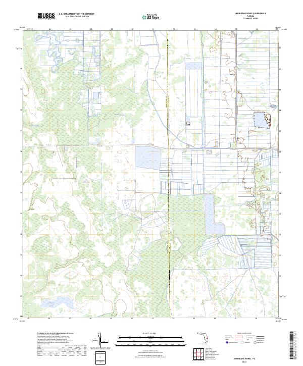
1953 Jernigans Pond
Okeechobee County, FL
1953 Jones Hammock
Okeechobee County, FL
1953 Marcy
Okeechobee County, FL
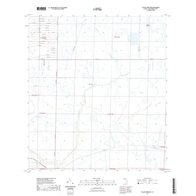
1953 Taylor Creek NE
Okeechobee County, FL
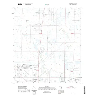
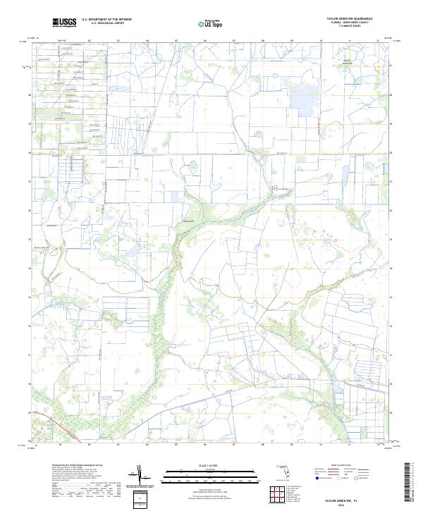
1953 Taylor Creek NW
Okeechobee County, FL
1953 Taylor Creek SE
Okeechobee County, FL
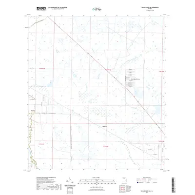
1953 Taylor Creek SW
Okeechobee County, FL
1971 Okeechobee SE
Okeechobee County, FL
2012 Basinger
Okeechobee County, FL

2012 Fort Drum
Okeechobee County, FL
2012 Fort Drum SW
Okeechobee County, FL
2012 Fort Kissimmee SE
Okeechobee County, FL
2012 Jernigans Pond
Okeechobee County, FL
2012 Jones Hammock
Okeechobee County, FL
2012 Marcy
Okeechobee County, FL
2012 Okeechobee SE
Okeechobee County, FL
2012 Taylor Creek NE
Okeechobee County, FL
2012 Taylor Creek NW
Okeechobee County, FL
2012 Taylor Creek SE
Okeechobee County, FL
2012 Taylor Creek SW
Okeechobee County, FL
2015 Basinger
Okeechobee County, FL
2015 Fort Drum
Okeechobee County, FL
2015 Fort Drum SW
Okeechobee County, FL
2015 Fort Kissimmee SE
Okeechobee County, FL

2015 Jernigans Pond
Okeechobee County, FL
2015 Jones Hammock
Okeechobee County, FL

2015 Marcy
Okeechobee County, FL

2015 Okeechobee SE
Okeechobee County, FL
2015 Taylor Creek NE
Okeechobee County, FL
2015 Taylor Creek NW
Okeechobee County, FL
2015 Taylor Creek SE
Okeechobee County, FL
2015 Taylor Creek SW
Okeechobee County, FL
2018 Basinger
Okeechobee County, FL
2018 Fort Drum
Okeechobee County, FL
2018 Fort Drum SW
Okeechobee County, FL
2018 Fort Kissimmee SE
Okeechobee County, FL
2018 Jernigans Pond
Okeechobee County, FL
2018 Jones Hammock
Okeechobee County, FL
2018 Marcy
Okeechobee County, FL
2018 Okeechobee SE
Okeechobee County, FL
2018 Taylor Creek NE
Okeechobee County, FL
2018 Taylor Creek NW
Okeechobee County, FL
2018 Taylor Creek SE
Okeechobee County, FL
2018 Taylor Creek SW
Okeechobee County, FL
2021 Basinger
Okeechobee County, FL
2021 Fort Drum
Okeechobee County, FL
2021 Fort Drum SW
Okeechobee County, FL
2021 Fort Kissimmee SE
Okeechobee County, FL
2021 Jernigans Pond
Okeechobee County, FL
2021 Jones Hammock
Okeechobee County, FL
2021 Marcy
Okeechobee County, FL
2021 Okeechobee SE
Okeechobee County, FL
2021 Taylor Creek NE
Okeechobee County, FL
2021 Taylor Creek NW
Okeechobee County, FL
2021 Taylor Creek SE
Okeechobee County, FL
2021 Taylor Creek SW
Okeechobee County, FL
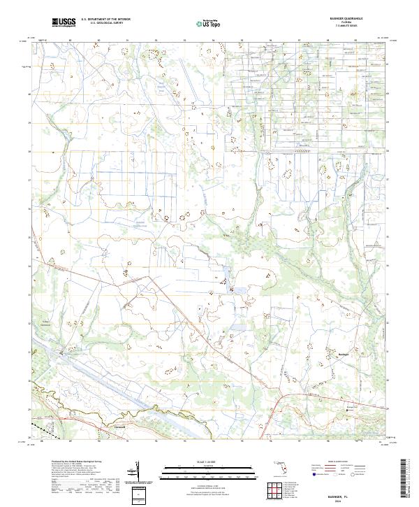
2024 Basinger
Okeechobee County, FL
2024 Fort Drum
Okeechobee County, FL
2024 Fort Drum SW
Okeechobee County, FL
2024 Fort Kissimmee SE
Okeechobee County, FL
2024 Jernigans Pond
Okeechobee County, FL
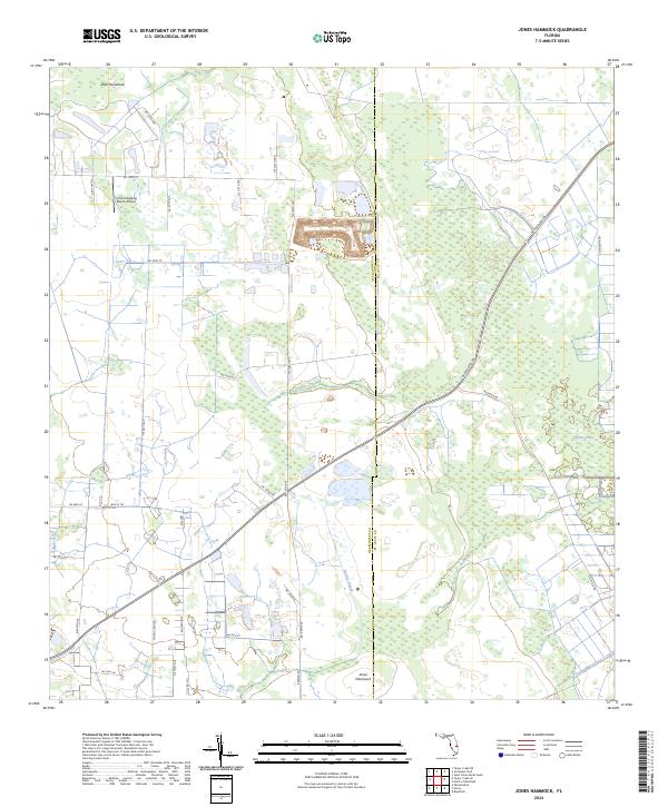
2024 Jones Hammock
Okeechobee County, FL
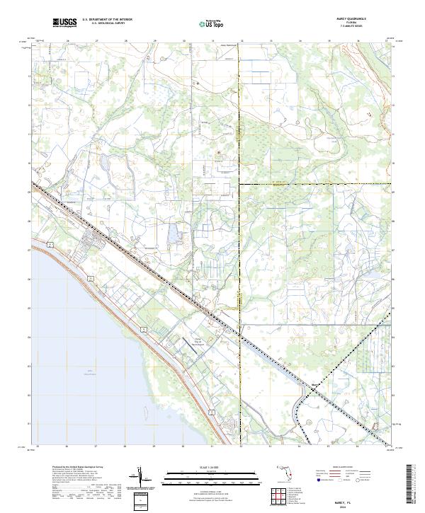
2024 Marcy
Okeechobee County, FL
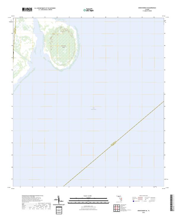
2024 Okeechobee SE
Okeechobee County, FL
2024 Taylor Creek NE
Okeechobee County, FL
2024 Taylor Creek NW
Okeechobee County, FL
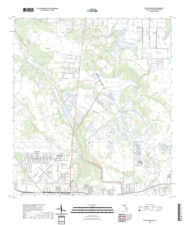
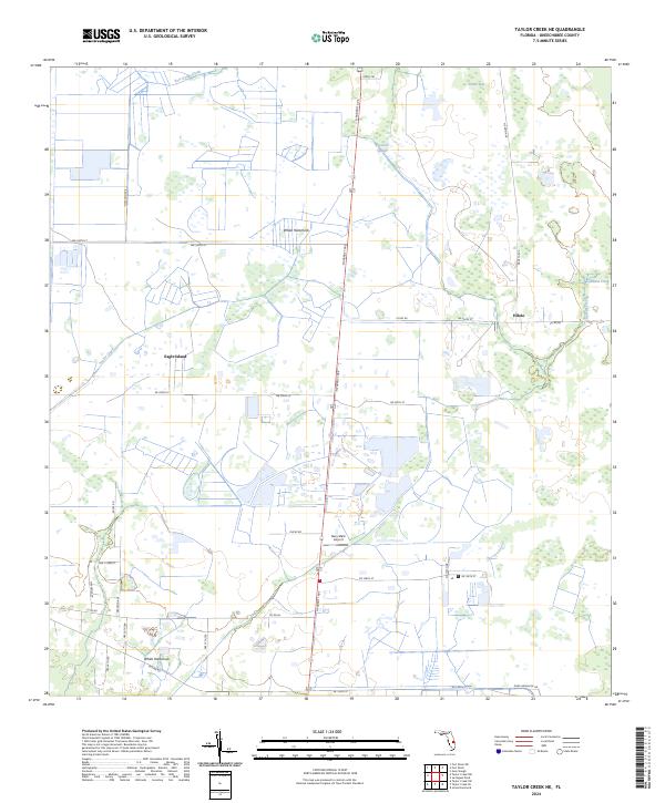
2024 Taylor Creek SE
Okeechobee County, FL
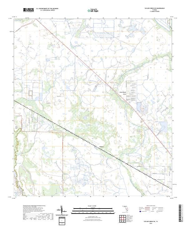
2024 Taylor Creek SW
Okeechobee County, FL