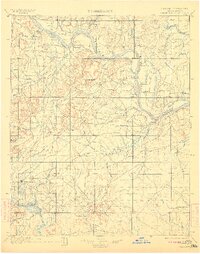
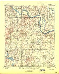
1900 Map of Okmulgee
USGS Topo · Published 1911About this map
Okmulgee serves as a primary hub within the Creek Nation during this late 19th-century survey of the Indian Territory. The settlement pattern is defined by early missionary influence and the meandering path of the Arkansas River in the north. Significant landmarks such as the Wealaka Mission and a southern Mission near Okmulgee indicate the area's role as a center for tribal administration and education.
Find a feature on this map
74 named features on this map. Tap any name to fly to it.
Don’t see what you’re looking for? This feature index may not catch every label — zoom into the map to look around manually.
Map Details
Editions of this 1900 Okmulgee Map
6 editions found
Other maps of this area

1896 · Okmulgee
USGS Topo · 1:125,000

1896 · Pryor
USGS Topo · 1:125,000

1900 · Sansbois
USGS Topo · 1:125,000

1900 · Canadian
USGS Topo · 1:125,000

1900 · Wewoka
USGS Topo · 1:125,000

1900 · Okmulgee
USGS Topo · 1:125,000

1901 · Muscogee
USGS Topo · 1:125,000

1901 · Claremore
USGS Topo · 1:125,000

1901 · Pryor
USGS Topo · 1:125,000

1901 · Nuyaka
USGS Topo · 1:125,000