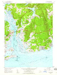
1958 Map of Old Lyme
USGS Topo · Published 1959About this map
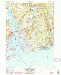
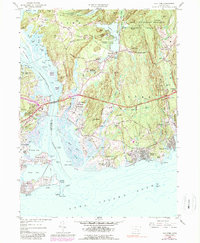
The Connecticut River meets Long Island Sound in this detailed study of the shoreline during a period of significant infrastructure development. The introduction of the Connecticut Turnpike Toll Road, including the high-speed Memorial Highway, bisects the landscape of Old Lyme, contrasting the new automobile age with the established rail corridor of the New York New Haven And Hartford and Lyme Station. Residential growth is evident in coastal communities like White Sands Beach, Sound View, and Old Lyme Shores, which sit south of the expansive Stone Ranch Military Reservation. Local history is preserved in the location of several Quarries and cemeteries such as Duck River Cem and Champion Cem. Along the river, the marshy expanse of Great Island and the tidal waters of Lord Cove remain largely undeveloped, while the Saybrook Lighthouse stands at the mouth of the harbor near Fenwick.
Find a feature on this map
97 named features on this map. Tap any name to fly to it.
Don’t see what you’re looking for? This feature index may not catch every label — zoom into the map to look around manually.
Map Details
Editions of this 1958 Old Lyme Map
6 editions found
Other maps of this area

1892 · New London
USGS Topo · 1:62,500

1893 · New London
USGS Topo · 1:62,500

1893 · Saybrook
USGS Topo · 1:62,500

1903 · Gardiners Island
USGS Topo · 1:62,500

1904 · Gardiners Island
USGS Topo · 1:62,500

1921 · Gardiners Island
USGS Topo · 1:62,500

1921 · New London
USGS Topo · 1:62,500

1934 · Niantic
USGS Topo · 1:24,000

1935 · Montville
USGS Topo · 1:24,000

1938 · Niantic
USGS Topo · 1:62,500