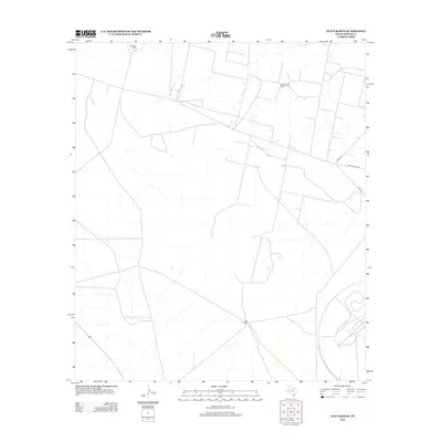
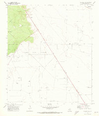
2012 Map of Old X Ranch
USGS Topo · Published 2012About this map
Worsham Ranch and Old X Ranch anchor this West Texas landscape in Reeves County, representing the deep-rooted ranching tradition of the region. The map reveals a transition into industrial land use with the presence of the Worsham Oil Field, where a grid of service roads and well sites overlays the traditional range. The transportation network is defined by Ranch Road 1450, which facilitates movement through this arid territory alongside secondary routes like Co Rd-103 and Co Rd-104. The terrain is marked by ephemeral drainage patterns typical of the Permian Basin, where the balance between livestock grazing and petroleum extraction defines the modern character of the land.
Find a feature on this map
6 named features on this map. Tap any name to fly to it.
Don’t see what you’re looking for? This feature index may not catch every label — zoom into the map to look around manually.
Map Details
Editions of this 2012 Old X Ranch Map
This is the sole edition of this map. No revisions or reprints were ever made.
Other maps of this area
1931 · Barstow
USGS Topo · 1:125,000

1954 · Pecos
USGS Topo · 1:250,000

1957 · Pecos
USGS Topo · 1:250,000
1963 · Ligon Ranch
USGS Topo · 1:24,000
1963 · Old X Ranch
USGS Topo · 1:24,000
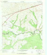
1963 · Quito Draw
USGS Topo · 1:24,000
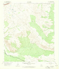
1963 · China Lake
USGS Topo · 1:24,000
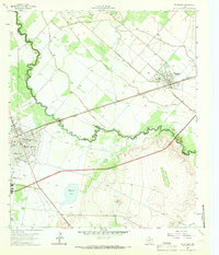
1963 · Pecos East
USGS Topo · 1:24,000
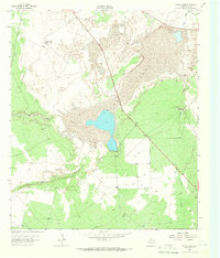
1963 · Toyah Lake
USGS Topo · 1:24,000
1970 · Barstow 3 NE
USGS Topo · 1:24,000