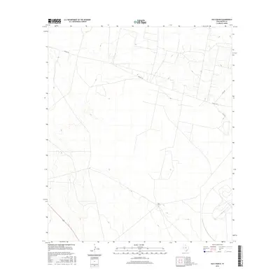
2016 Map of Old X Ranch
USGS Topo · Published 2016About this map
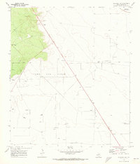
Old X Ranch occupies a central position in this remote section of Reeves County, serving as a primary landmark in a landscape defined by expansive ranching operations. The topography is relatively level, marked by gradual elevation changes that are carefully documented through ten-foot contour intervals. Transport across this arid terrain is facilitated by Farm Rd 1450, which cuts diagonally across the northern portion of the quadrangle, and the intersection of Co Rd 104 and Co Rd 103 in the northeast. These secondary roads represent the critical infrastructure connecting isolated ranching outposts to the wider region of West Texas. The scarcity of named water features or dense settlements highlights the character of this area as a dedicated cattle-working landscape in the early twenty-first century.
Find a feature on this map
5 named features on this map. Tap any name to fly to it.
Don’t see what you’re looking for? This feature index may not catch every label — zoom into the map to look around manually.
Map Details
Editions of this 2016 Old X Ranch Map
This is the sole edition of this map. No revisions or reprints were ever made.
Other maps of this area
1931 · Barstow
USGS Topo · 1:125,000

1954 · Pecos
USGS Topo · 1:250,000

1957 · Pecos
USGS Topo · 1:250,000
1963 · Ligon Ranch
USGS Topo · 1:24,000
1963 · Old X Ranch
USGS Topo · 1:24,000
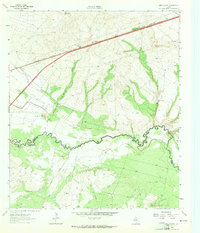
1963 · Quito Draw
USGS Topo · 1:24,000
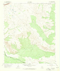
1963 · China Lake
USGS Topo · 1:24,000
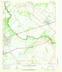
1963 · Pecos East
USGS Topo · 1:24,000
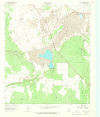
1963 · Toyah Lake
USGS Topo · 1:24,000
1970 · Barstow 3 NE
USGS Topo · 1:24,000