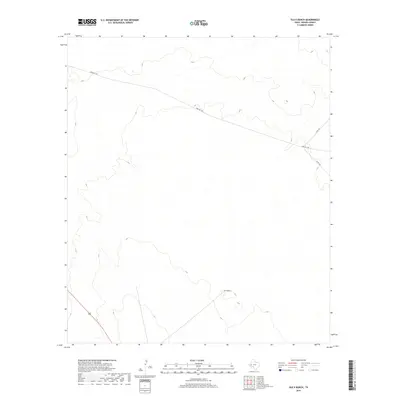
2019 Map of Old X Ranch
USGS Topo · Published 2019About this map
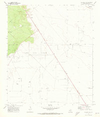
Old X Ranch serves as the namesake and central landmark for this arid expanse of Reeves County. The terrain is characterized by subtle elevation changes and drainage patterns that define the West Texas landscape. Transportation infrastructure is sparse but vital, anchored by the passage of 285 in the southwestern corner and the long diagonal stretch of Farm Rd 1450. These routes, along with local connectors like Co Rd 104 and Co Rd 101, represent the primary lifelines through the rangeland, connecting the isolated ranching operations to the broader region. The map captures a moment in the modern era where traditional land use and essential rural road networks persist across the Permian Basin's western edge.
Find a feature on this map
5 named features on this map. Tap any name to fly to it.
Don’t see what you’re looking for? This feature index may not catch every label — zoom into the map to look around manually.
Map Details
Editions of this 2019 Old X Ranch Map
This is the sole edition of this map. No revisions or reprints were ever made.
Other maps of this area
1931 · Barstow
USGS Topo · 1:125,000

1954 · Pecos
USGS Topo · 1:250,000

1957 · Pecos
USGS Topo · 1:250,000
1963 · Ligon Ranch
USGS Topo · 1:24,000
1963 · Old X Ranch
USGS Topo · 1:24,000
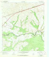
1963 · Quito Draw
USGS Topo · 1:24,000
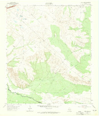
1963 · China Lake
USGS Topo · 1:24,000
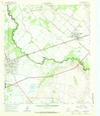
1963 · Pecos East
USGS Topo · 1:24,000
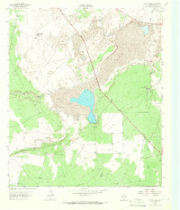
1963 · Toyah Lake
USGS Topo · 1:24,000
1970 · Barstow 3 NE
USGS Topo · 1:24,000