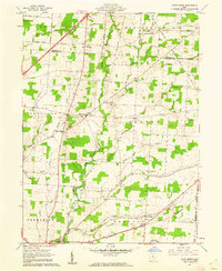
1961 Map of Olive Green
USGS Topo · Published 1962About this map
Big Walnut Creek and its many tributaries, including Culver Creek and Perfect Creek, carve through this central Ohio agricultural landscape as it appeared in the early 1960s. The terrain is defined by the scattered hamlets of Pagetown, Fargo, and Olive Green, which serve as local hubs for the surrounding farmsteads. This era shows the transition of rural infrastructure, where local landmarks like a Covered Bridge on Big Walnut Creek coexist with industrial activity represented by an Oil Well near the Morrow and Delaware County line. The transport network is anchored by the Pennsylvania railroad line in the south, connecting Sunbury to the broader regional economy. For genealogists and local historians, the presence of rural congregations at Blue Ch and Mt Pleasant Ch, along with the Pagetown Cem, provide essential geographic markers for mid-century family research.
Find a feature on this map
51 named features on this map. Tap any name to fly to it.
Don’t see what you’re looking for? This feature index may not catch every label — zoom into the map to look around manually.
Map Details
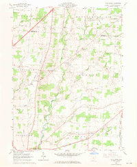
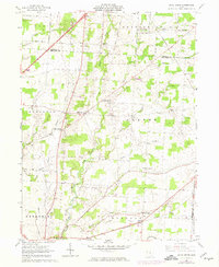
Editions of this 1961 Olive Green Map
3 editions found
Other maps of this area

1902 · Westerville
USGS Topo · 1:62,500

1904 · Westerville
USGS Topo · 1:62,500

1908 · Granville
USGS Topo · 1:62,500

1910 · Granville
USGS Topo · 1:62,500

1915 · Marengo
USGS Topo · 1:62,500

1915 · Fredericktown
USGS Topo · 1:62,500

1943 · Marengo
USGS Topo · 1:62,500

1943 · Fredericktown
USGS Topo · 1:62,500

1950 · Marion
USGS Topo · 1:250,000
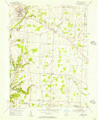
1955 · Sunbury
USGS Topo · 1:24,000