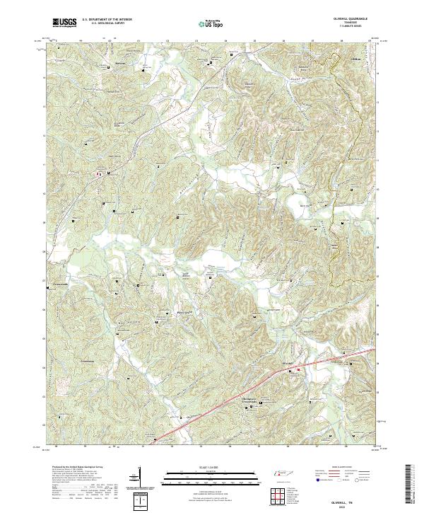
2022 Map of Olivehill
USGS Topo · Published 2022About this map
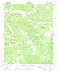
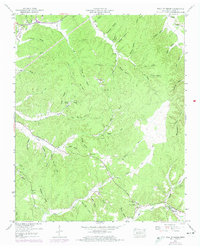
Indian Creek and Hardin Creek wind through a landscape defined by deep hollows and named ridges in this eastern portion of Hardin County. The area is characterized by small, dispersed settlements like Olivehill, Piney Grove, and Havana, each serving as a focal point for rural life. The density of family cemeteries such as Hulen Cem, Bumpas Cem, and Dickey Cem indicates a long-standing pattern of localized kinship and agricultural heritage. Transportation is centered on State Hwy 128, which connects the upland ridges to the creek valleys.
Find a feature on this map
189 named features on this map. Tap any name to fly to it.
Don’t see what you’re looking for? This feature index may not catch every label — zoom into the map to look around manually.
Map Details
Editions of this 2022 Olivehill Map
This is the sole edition of this map. No revisions or reprints were ever made.
Historical Maps of Thompson Crossroads Through Time
23 maps found
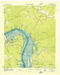
1936 Hookers Bend
Hardin County, TN
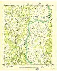
1936 Lowryville
Hardin County, TN
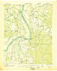
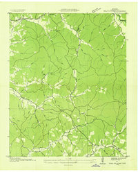
1936 Olivehill
Hardin County, TN
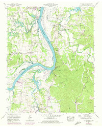
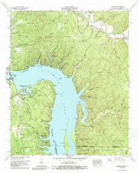
1936 Pickwick
Hardin County, TN
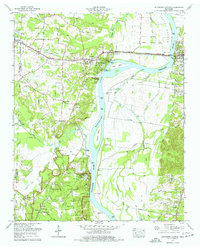
1936 Pittsburg Landing
Hardin County, TN
1936 Wolf Pit Ridge
Hardin County, TN
1949 Hookers Bend
Hardin County, TN
1949 Lowryville
Hardin County, TN
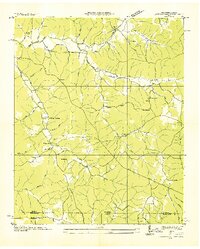
1949 Olivehill
Hardin County, TN
1949 Pickwick
Hardin County, TN
1949 Pittsburg Landing
Hardin County, TN
1949 Wolf Pit Ridge
Hardin County, TN
1952 Lowryville
Hardin County, TN
1952 Pickwick
Hardin County, TN
1952 Wolf Pit Ridge
Hardin County, TN
1972 Pickwick
Hardin County, TN
1972 Pittsburg Landing
Hardin County, TN
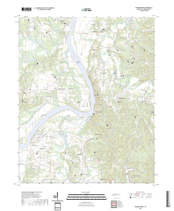
2022 Hookers Bend
Hardin County, TN
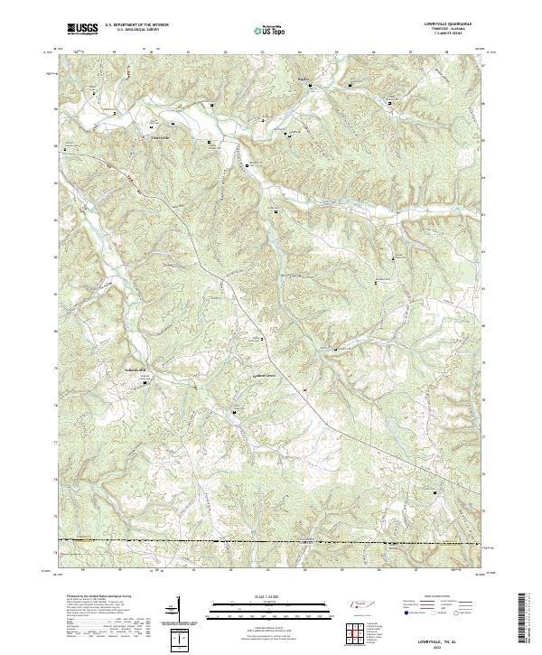
2022 Lowryville
Hardin County, TN
2022 Olivehill
Hardin County, TN
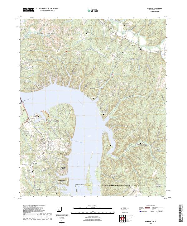
2022 Pickwick
Hardin County, TN
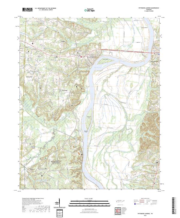
2022 Pittsburg Landing
Hardin County, TN
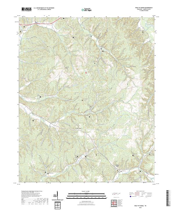
2022 Wolf Pit Ridge
Hardin County, TN