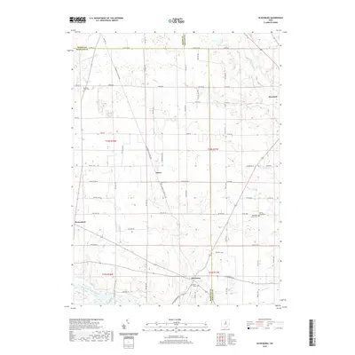
2019 Map of Olivesburg
USGS Topo · Published 2019About this map
Whetstone Cr and Clear Cr meander through this agricultural landscape where the borders of Ashland, Richland, and Huron counties converge. The village of Adario sits at the center of a dense network of rural roads, including Adario East Rd and the long Olivesburg-Fitchville Rd. For local historians and genealogists, the map identifies several significant burial sites and landmarks, such as Mount Olivet Cem near Olivesburg and the Reformed Church beside Brytes Churchyard Cem. The northeastern corner is anchored by the community of Savannah, while the Vermilion River and its Southwest Br Vermilion River define the northern drainage patterns. The layout of section lines and townships, including t23n r18w and t25n r17w, remains the primary framework for the area's modern land division and rural property boundaries.
Find a feature on this map
72 named features on this map. Tap any name to fly to it.
Don’t see what you’re looking for? This feature index may not catch every label — zoom into the map to look around manually.
Map Details
Editions of this 2019 Olivesburg Map
This is the sole edition of this map. No revisions or reprints were ever made.
Other maps of this area

1908 · Ashland
USGS Topo · 1:62,500

1908 · New London
USGS Topo · 1:62,500

1915 · Norwalk
USGS Topo · 1:62,500

1915 · Crestline
USGS Topo · 1:62,500

1943 · Crestline
USGS Topo · 1:62,500

1944 · Norwalk
USGS Topo · 1:62,500

1950 · Marion
USGS Topo · 1:250,000

1956 · Toledo
USGS Topo · 1:250,000

1960 · New London
USGS Topo · 1:24,000
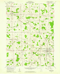
1960 · Greenwich
USGS Topo · 1:24,000