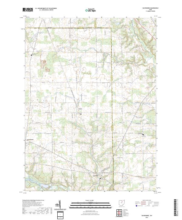
2023 Map of Olivesburg
USGS Topo · Published 2023About this map
Olivesburg and Adario anchor this rural landscape in north-central Ohio, situated where Richland, Ashland, and Huron Counties meet. The terrain is defined by a dense network of waterways, including Whetstone Creek and the Southwest Branch Vermilion River, which flow through a grid of established township and county roads. This 2023 survey illustrates a region shaped by agricultural life and early 19th-century settlement patterns, particularly visible in the distribution of family and community landmarks.
Find a feature on this map
51 named features on this map. Tap any name to fly to it.
Don’t see what you’re looking for? This feature index may not catch every label — zoom into the map to look around manually.
Map Details
Editions of this 2023 Olivesburg Map
This is the sole edition of this map. No revisions or reprints were ever made.
Historical Maps of Olivesburg Through Time
10 maps found

1915 Shauck
Richland County, OH

1943 Shauck
Richland County, OH
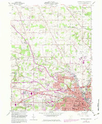
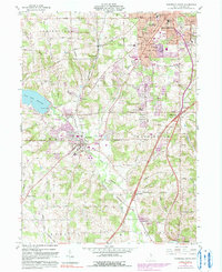
1960 Mansfield North
Richland County, OH
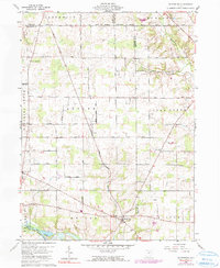
1960 Olivesburg
Richland County, OH
1960 Pavonia
Richland County, OH
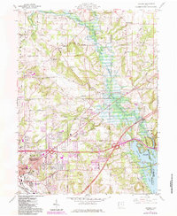
1961 Mansfield South
Richland County, OH
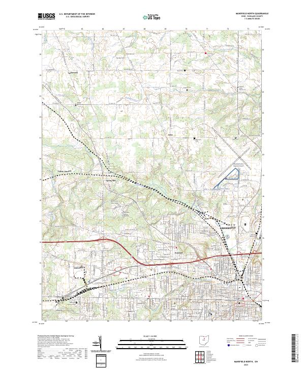
2023 Mansfield North
Richland County, OH

2023 Mansfield South
Richland County, OH
2023 Olivesburg
Richland County, OH
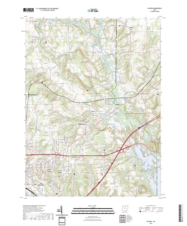
2023 Pavonia
Richland County, OH
Featured Locations
- Clear Creek Township, OH
- Milton Township, OH
- Ruggles Township, OH
- Butler Township, OH
- Savannah, Clear Creek Township