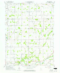
1961 Map of Omega
USGS Topo · Published 1962About this map
The White River anchors the southern landscape of this central Indiana quadrangle, where the border of Tipton and Hamilton counties bisects a territory dominated by small farming settlements and an intricate drainage network. At the start of the 1960s, the rural character of the region is evident in the cluster of small communities such as Omega, Aroma, and Walnut Grove. The terrain is defined by several waterways, including Duck Creek, Cicero Creek, and Bear Creek, which traverse the flat agricultural land.
Find a feature on this map
49 named features on this map. Tap any name to fly to it.
Don’t see what you’re looking for? This feature index may not catch every label — zoom into the map to look around manually.
Map Details
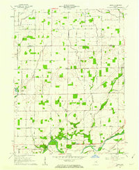
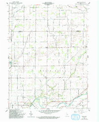
Editions of this 1961 Omega Map
3 editions found
Other maps of this area

1953 · Lapel
USGS Topo · 1:24,000

1953 · Riverwood
USGS Topo · 1:24,000

1953 · Noblesville
USGS Topo · 1:24,000

1953 · Danville
USGS Topo · 1:250,000

1953 · Muncie
USGS Topo · 1:250,000

1955 · Danville
USGS Topo · 1:250,000

1956 · Muncie
USGS Topo · 1:250,000

1956 · Danville
USGS Topo · 1:250,000

1960 · Noblesville
USGS Topo · 1:24,000

1960 · Elwood
USGS Topo · 1:24,000