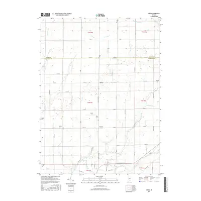
1961 Map of Omega
USGS Topo · Published 1994About this map
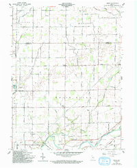
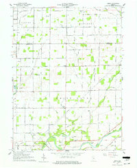
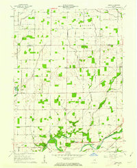
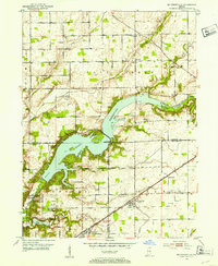
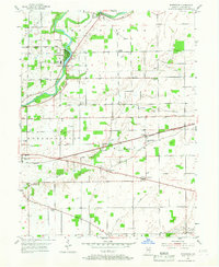
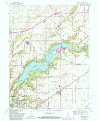
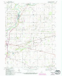
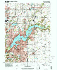
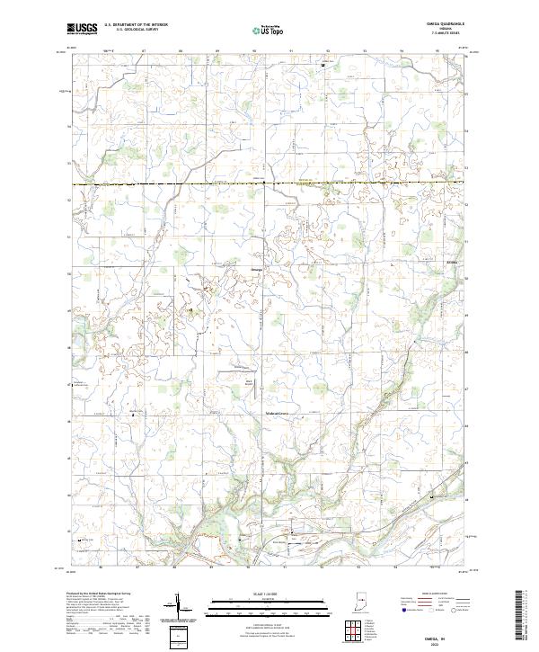
White River and its tributaries define this pocket of Central Indiana, where agricultural patterns are etched into the landscape along the borders of Jackson and White River townships. The map documents several small, historic hubs like Omega and Walnut Grove, which anchored the local rural community. For genealogists, the survey is remarkably detailed regarding burial sites, noting family-linked locations such as Buscher Cem, Grubbs Cem, and Hobbs Cem. The drainage network is complex, featuring Duck Creek and Sugar Creek alongside numerous engineered ditches like Polywog Ditch and Lamberson Ditch, reflecting the era's intensive land management for farming. Near the river, several Gravel Pit operations highlight the local extractive industry that supported regional construction during the mid-20th century.
Find a feature on this map
36 named features on this map. Tap any name to fly to it.
Don’t see what you’re looking for? This feature index may not catch every label — zoom into the map to look around manually.
Map Details
Editions of this 1961 Omega Map
3 editions found
Historical Maps of Omega Through Time
16 maps found
1952 Mc Cordsville
Hamilton County, IN
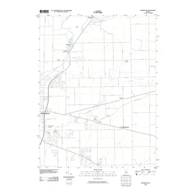
1953 Riverwood
Hamilton County, IN
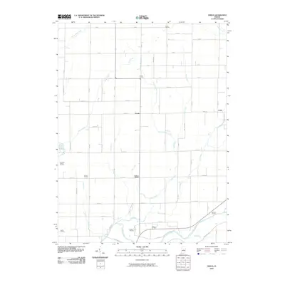
1961 Omega
Hamilton County, IN
1962 Mc Cordsville
Hamilton County, IN
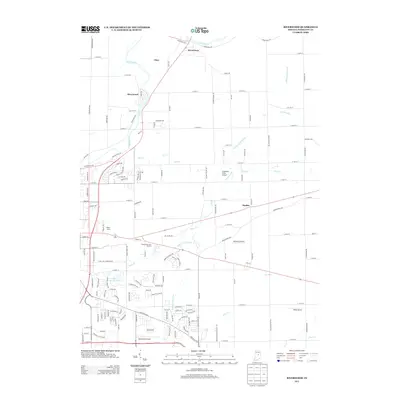
1969 Riverwood
Hamilton County, IN
1998 Mc Cordsville
Hamilton County, IN
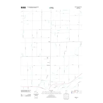
2010 Omega
Hamilton County, IN
2010 Riverwood
Hamilton County, IN
2013 Omega
Hamilton County, IN
2013 Riverwood
Hamilton County, IN
2016 Omega
Hamilton County, IN
2016 Riverwood
Hamilton County, IN
2019 Omega
Hamilton County, IN
2019 Riverwood
Hamilton County, IN
2022 Omega
Hamilton County, IN
2022 Riverwood
Hamilton County, IN