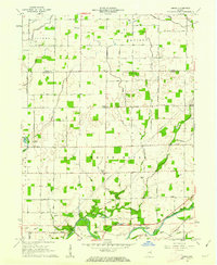
1961 Map of Omega
USGS Topo · Published 1977About this map
The agricultural landscape of the Tipton Co Hamilton Co border is defined by a dense network of drainage canals and meandering waterways in the early 1960s. Small rural communities like Omega and Aroma anchor the northern reaches, while Strawtown sits along the southern bend of the White River. The area is notably populated with family and local burial grounds, including Hobbs Cem in the north and Grubbs Cem near the river, providing vital touchstones for genealogical research.
Find a feature on this map
52 named features on this map. Tap any name to fly to it.
Don’t see what you’re looking for? This feature index may not catch every label — zoom into the map to look around manually.
Map Details
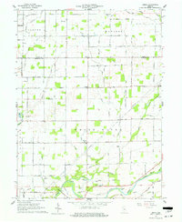
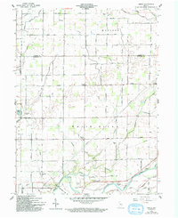
Editions of this 1961 Omega Map
3 editions found
Other maps of this area

1953 · Lapel
USGS Topo · 1:24,000

1953 · Riverwood
USGS Topo · 1:24,000

1953 · Noblesville
USGS Topo · 1:24,000

1953 · Danville
USGS Topo · 1:250,000

1953 · Muncie
USGS Topo · 1:250,000

1955 · Danville
USGS Topo · 1:250,000

1956 · Muncie
USGS Topo · 1:250,000

1956 · Danville
USGS Topo · 1:250,000

1960 · Noblesville
USGS Topo · 1:24,000

1960 · Elwood
USGS Topo · 1:24,000