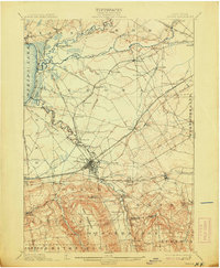
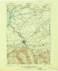
1902 Map of Oneida
USGS Topo · Published 1913About this map
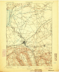
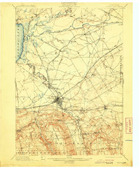
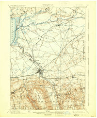
Oneida sits at the center of a dense transportation network where the Erie Canal and multiple rail lines converge across the Madison and Oneida county line. The landscape reflects the complex evolution of New York's waterway history, featuring both the Old Oneida Lake Canal and the New Oneida Lake Canal (Abandoned) branching toward the eastern shore of Oneida Lake. Near Sylvan Beach, the convergence of Fish Creek and Wood Creek highlights the natural corridors that early engineers followed. To the east, the historic site of Fort Bull marks a strategic point on the portage between the Mohawk River and the Great Lakes drainage. The southern terrain rises toward Eaton Hill, overlooking industrial and agricultural centers like Sherrill, Oneida Castle, and Vernon, providing a detailed record of the region's development before the modern highway era.
Find a feature on this map
78 named features on this map. Tap any name to fly to it.
Don’t see what you’re looking for? This feature index may not catch every label — zoom into the map to look around manually.
Map Details
Editions of this 1902 Oneida Map
6 editions found

Other maps of this area

1895 · Chittenango
USGS Topo · 1:62,500

1895 · Oriskany
USGS Topo · 1:62,500

1895 · Oneida
USGS Topo · 1:62,500

1897 · Cazenovia
USGS Topo · 1:62,500

1898 · Oneida
USGS Topo · 1:62,500

1898 · Chittenango
USGS Topo · 1:62,500

1898 · Oriskany
USGS Topo · 1:62,500

1899 · Cazenovia
USGS Topo · 1:62,500

1902 · Chittenango
USGS Topo · 1:62,500

1902 · Morrisville
USGS Topo · 1:62,500