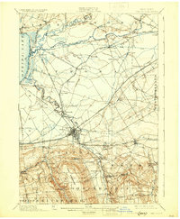
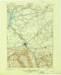
1902 Map of Oneida
USGS Topo · Published 1930About this map
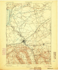
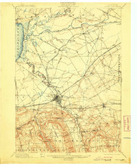
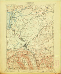
The city of Oneida sits at the heart of this central New York landscape, which is defined by an intricate network of early transportation routes. Surveyed in 1893, the map illustrates the critical transition between the legacy of the Old Oneida Lake Canal and the emerging Barge Canal. Along the shores of Oneida Lake, the resort atmosphere of Sylvan Beach contrast with the industrial and agricultural character of inland settlements like Oneida Castle and Durhamville.
Find a feature on this map
79 named features on this map. Tap any name to fly to it.
Don’t see what you’re looking for? This feature index may not catch every label — zoom into the map to look around manually.
Map Details
Editions of this 1902 Oneida Map
6 editions found

Other maps of this area

1895 · Chittenango
USGS Topo · 1:62,500

1895 · Oriskany
USGS Topo · 1:62,500

1895 · Oneida
USGS Topo · 1:62,500

1897 · Cazenovia
USGS Topo · 1:62,500

1898 · Oneida
USGS Topo · 1:62,500

1898 · Chittenango
USGS Topo · 1:62,500

1898 · Oriskany
USGS Topo · 1:62,500

1899 · Cazenovia
USGS Topo · 1:62,500

1902 · Chittenango
USGS Topo · 1:62,500

1902 · Morrisville
USGS Topo · 1:62,500