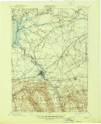
1902 Map of Oneida
USGS Topo · Published 1944About this map
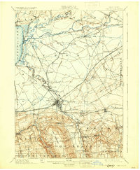
The Barge Canal and the historic Erie Canal dominate this 1893 survey of central New York, revealing a landscape defined by 19th-century water engineering and the expansion of the regional rail network. The map captures the industrial and social complexity of the era, most notably the Oneida Community and nearby Kenwood, alongside established hubs like Durhamville and Oneida Castle.
Find a feature on this map
77 named features on this map. Tap any name to fly to it.
Don’t see what you’re looking for? This feature index may not catch every label — zoom into the map to look around manually.
Map Details
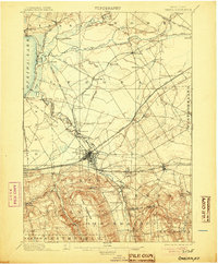
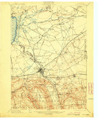
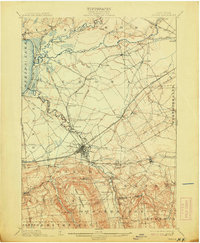
Editions of this 1902 Oneida Map
6 editions found

Other maps of this area

1895 · Chittenango
USGS Topo · 1:62,500

1895 · Oriskany
USGS Topo · 1:62,500

1895 · Oneida
USGS Topo · 1:62,500

1897 · Cazenovia
USGS Topo · 1:62,500

1898 · Oneida
USGS Topo · 1:62,500

1898 · Chittenango
USGS Topo · 1:62,500

1898 · Oriskany
USGS Topo · 1:62,500

1899 · Cazenovia
USGS Topo · 1:62,500

1902 · Chittenango
USGS Topo · 1:62,500

1902 · Morrisville
USGS Topo · 1:62,500