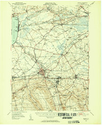
1946 Map of Oneida
USGS Topo · Published 1952About this map
Oneida Lake and the Erie Canal define the industrial and recreational geography of this mid-century landscape. This survey, compiled from 1941 aerial photography and later ground methods, illustrates the transition from the bustling resort atmosphere of Sylvan Beach and Verona Beach to the manufacturing core of Oneida and Sherrill. The waterway network remains central to the region's identity, with the canal cutting through the Verona Swamp and meeting smaller tributaries like Wood Creek and Oneida Creek.
Find a feature on this map
117 named features on this map. Tap any name to fly to it.
Don’t see what you’re looking for? This feature index may not catch every label — zoom into the map to look around manually.
Map Details
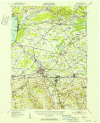
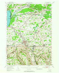
Editions of this 1946 Oneida Map
Other maps of this area

1895 · Chittenango
USGS Topo · 1:62,500

1895 · Oriskany
USGS Topo · 1:62,500

1895 · Oneida
USGS Topo · 1:62,500

1897 · Cazenovia
USGS Topo · 1:62,500

1898 · Oneida
USGS Topo · 1:62,500

1898 · Chittenango
USGS Topo · 1:62,500

1898 · Oriskany
USGS Topo · 1:62,500

1899 · Cazenovia
USGS Topo · 1:62,500

1902 · Chittenango
USGS Topo · 1:62,500

1902 · Morrisville
USGS Topo · 1:62,500