
1962 Map of Opa-locka
USGS Topo · Published 1964About this map
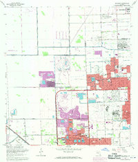
Opa-locka and the surrounding North Dade landscape are caught here during a period of rapid suburban expansion, where new residential grids like Carol City and Palm Springs North push into former wetlands and agricultural tracts. The intricate water management of the region is evident in the straight lines of the Snake Creek Canal and Biscayne Canal, which frame developing neighborhoods and institutional landmarks such as the South Florida State Hospital.
Find a feature on this map
87 named features on this map. Tap any name to fly to it.
Don’t see what you’re looking for? This feature index may not catch every label — zoom into the map to look around manually.
Map Details
Editions of this 1962 Opa-locka Map
4 editions found
Other maps of this area

1947 · North Miami
USGS Topo · 1:24,000

1949 · Opalocka
USGS Topo · 1:24,000

1949 · Fort Lauderdale South
USGS Topo · 1:24,000

1950 · Hialeah
USGS Topo · 1:24,000

1950 · Miami
USGS Topo · 1:24,000

1950 · North Miami
USGS Topo · 1:24,000

1956 · Miami
USGS Topo · 1:250,000

1956 · West Palm Beach
USGS Topo · 1:250,000

1957 · West Palm Beach
USGS Topo · 1:250,000

1958 · West Palm Beach
USGS Topo · 1:250,000