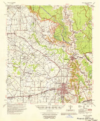
1956 Map of Opelousas
USGS Topo · Published 1956About this map
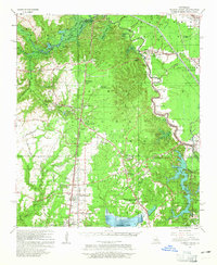
The city of Opelousas serves as the focal point of this 1956 mid-century survey, revealing a landscape defined by its intricate bayou network and agricultural infrastructure. The map details an extensive system of water management, featuring the Bayou Boeuf-Cocodrie Diversion Channel and several instances of Irrigation Flumes, some already marked as abandoned. Rural life is anchored by numerous parish churches and schools, such as the St Ann Sch Ch & Cem and Sacred Heart Ch & Cem, reflecting the deep-seated community structures of ST Landry Parish during this era.
Find a feature on this map
89 named features on this map. Tap any name to fly to it.
Don’t see what you’re looking for? This feature index may not catch every label — zoom into the map to look around manually.
Map Details
Editions of this 1956 Opelousas Map
This is the sole edition of this map. No revisions or reprints were ever made.
Other maps of this area
1935 · Turkey Creek
USGS Topo · 1:62,500
1939 · Opelousas
USGS Topo · 1:62,500
1940 · Arnaudville
USGS Topo · 1:62,500
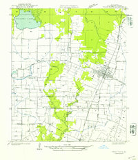
1947 · Ville Platte
USGS Topo · 1:31,680
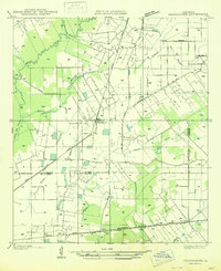
1947 · Chataignier
USGS Topo · 1:31,680
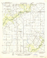
1947 · Pitreville
USGS Topo · 1:31,680
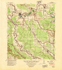
1948 · Bunkie
USGS Topo · 1:62,500
1949 · Turkey Creek
USGS Topo · 1:62,500

1952 · Lake Charles
USGS Topo · 1:250,000

1954 · Lake Charles
USGS Topo · 1:250,000