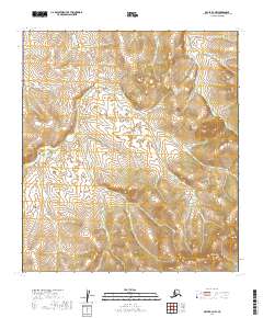
2019 Map of Ophir B-2 NW
USGS Topo · Published 2019About this map
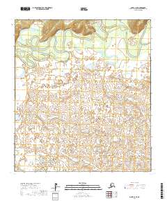
Madison Mtn anchors the southeastern corner of this Alaskan landscape, part of a drainage network defined by numerous winding waterways. The northern reaches are shaped by the flow of Finland Cr and Taft Cr, while the central terrain is carved by the extensive Madison Cr system and its tributaries. These creek names suggest the legacy of early prospectors and settlers who navigated the Yukon-Koyukuk region, likely tracing the drainage paths of Eldorado Cr and Esperanto Cr in search of mineral deposits. The topographic detail shows a land of high ridges and narrow creek valleys, where the lack of established roads or structures emphasizes the isolation of the Alaskan interior in the early twenty-first century.
Find a feature on this map
12 named features on this map. Tap any name to fly to it.
Don’t see what you’re looking for? This feature index may not catch every label — zoom into the map to look around manually.
Map Details
Editions of this 2019 Ophir B-2 NW Map
This is the sole edition of this map. No revisions or reprints were ever made.
Other maps of this area

1951 · Ophir
USGS Topo · 1:250,000

1954 · Ophir C-3
USGS Topo · 1:63,360

1954 · Ophir C-2
USGS Topo · 1:63,360

1954 · Ophir B-2
USGS Topo · 1:63,360

1954 · Ophir B-3
USGS Topo · 1:63,360

1954 · Ophir
USGS Topo · 1:250,000
1965 · Ophir B-2
USGS Topo · 1:63,360
2017 · Ophir B-3 SE
USGS Topo · 1:25,000
2017 · Ophir B-3 NE
USGS Topo · 1:25,000
2017 · Ophir C-3 SE
USGS Topo · 1:25,000