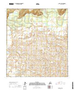
2017 Map of Ophir C-3 SE
USGS Topo · Published 2017About this map
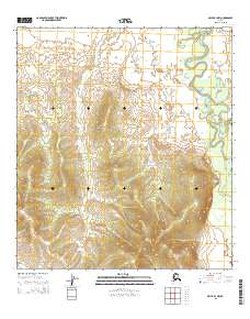
The Innoko River dominates the northern landscape of this interior Alaskan territory, its winding course and abandoned oxbows creating a complex wetland environment. In this remote stretch of the Yukon-Koyukuk region, the river's meandering path has carved out distinctive water bodies like Horseshoe Lake, illustrating the dynamic nature of the subarctic drainage system.
Find a feature on this map
16 named features on this map. Tap any name to fly to it.
Don’t see what you’re looking for? This feature index may not catch every label — zoom into the map to look around manually.
Map Details
Editions of this 2017 Ophir C-3 SE Map
This is the sole edition of this map. No revisions or reprints were ever made.
Other maps of this area

1951 · Ophir
USGS Topo · 1:250,000

1954 · Ophir C-3
USGS Topo · 1:63,360

1954 · Ophir C-2
USGS Topo · 1:63,360

1954 · Ophir B-2
USGS Topo · 1:63,360

1954 · Ophir B-3
USGS Topo · 1:63,360

1954 · Ophir
USGS Topo · 1:250,000
1965 · Ophir B-2
USGS Topo · 1:63,360
2015 · Ophir C-3 NW
USGS Topo · 1:25,000
2015 · Ophir C-3 SW
USGS Topo · 1:25,000
2015 · Ophir B-3 NW
USGS Topo · 1:25,000