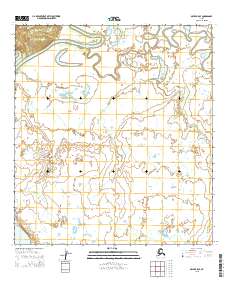
2015 Map of Ophir B-5 SE
USGS Topo · Published 2015About this map
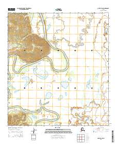
The Innoko River winds across the northern landscape of this interior Alaska wilderness, showing the characteristic oxbows and meander scars of an active subarctic river system. This 2015 survey of the Ophir B-5 SE region documents a terrain defined by water, where Grouch Cr drains toward the larger river through a network of wetlands and seasonal ponds. The map provides a detailed record of the Public Land Survey System grid, demarcating boundaries such as t24s r3e and t25s r4e across an area largely untouched by permanent roads or infrastructure. This absence of development highlights the region's character as a preserved frontier, useful for researchers studying hydrography and the natural shifts of Alaskan river basins over time.
Find a feature on this map
8 named features on this map. Tap any name to fly to it.
Don’t see what you’re looking for? This feature index may not catch every label — zoom into the map to look around manually.
Map Details
Editions of this 2015 Ophir B-5 SE Map
This is the sole edition of this map. No revisions or reprints were ever made.
Other maps of this area

1951 · Ophir
USGS Topo · 1:250,000

1954 · Ophir A-5
USGS Topo · 1:63,360

1954 · Ophir A-4
USGS Topo · 1:63,360

1954 · Ophir B-4
USGS Topo · 1:63,360

1954 · Ophir B-5
USGS Topo · 1:63,360

1954 · Ophir
USGS Topo · 1:250,000
2014 · Ophir B-5 SW
USGS Topo · 1:25,000
2014 · Ophir B-5 NW
USGS Topo · 1:25,000
2014 · Ophir A-5 NW
USGS Topo · 1:25,000
2015 · Ophir B-5 NE
USGS Topo · 1:25,000