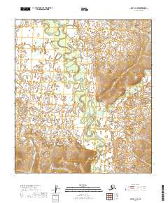
2019 Map of Ophir C-1 NW
USGS Topo · Published 2019About this map
The Innoko River winds through this interior Alaskan wilderness, defining a landscape dominated by shifting watercourses and complex drainage patterns. This 2019 survey documents the intricate meanders and oxbow lakes typical of the region, where the river's path is constantly reshaped by the seasons. Tributaries such as Twomile Cr and Fourmile Cr feed into the main channel from the west, while the eastern terrain rises toward more defined ridges. The convergence of McLean Cr, Hunch Cr, and Caribou Cr in the southern sections illustrates a rugged, roadless geography where travel has historically relied on these seasonal waterways. For those studying the Yukon-Koyukuk region, the map provides a precise look at the township and range lines of T20S and T21S as they overlay this undisturbed natural environment.
Find a feature on this map
10 named features on this map. Tap any name to fly to it.
Don’t see what you’re looking for? This feature index may not catch every label — zoom into the map to look around manually.
Map Details
Editions of this 2019 Ophir C-1 NW Map
This is the sole edition of this map. No revisions or reprints were ever made.
Other maps of this area

1951 · Ophir
USGS Topo · 1:250,000
1954 · Ophir D-1
USGS Topo · 1:63,360

1954 · Ophir C-1
USGS Topo · 1:63,360

1954 · Ophir C-2
USGS Topo · 1:63,360
1954 · Ophir D-2
USGS Topo · 1:63,360

1954 · Ophir
USGS Topo · 1:250,000
2019 · Ophir C-1 NE
USGS Topo · 1:25,000
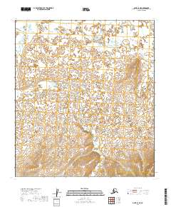
2019 · Ophir C-2 NE
USGS Topo · 1:25,000
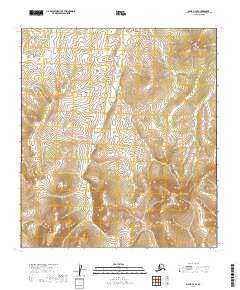
2019 · Ophir C-2 SE
USGS Topo · 1:25,000
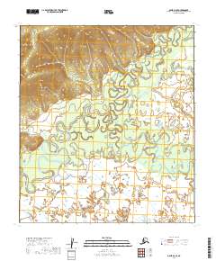
2019 · Ophir D-2 SE
USGS Topo · 1:25,000