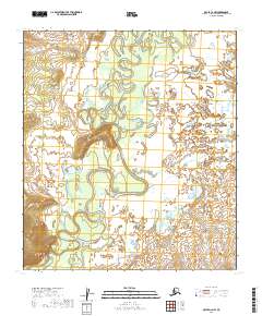
2019 Map of Ophir C-2 NW
USGS Topo · Published 2019About this map
The Innoko River dominates this interior landscape, winding in tight, complex meanders across the Yukon-Koyukuk region. This 2019 survey documents the river’s erratic path through the central Alaskan wilderness, where oxbow lakes and abandoned channels testify to a shifting watercourse. In the eastern portion of the quadrangle, Scandinavian Cr flows toward the main river valley, while Doctor Beaver Cr enters from the southwest. The terrain is characterized by broad alluvial lowlands punctuated by subtle elevation changes, as indicated by the public land survey grid lines of t20s r10e and t21s r11e. Without roads or established settlements, the map focuses on the raw hydrology and natural drainages that have historically dictated travel and subsistence in this part of the Alaska interior.
Find a feature on this map
7 named features on this map. Tap any name to fly to it.
Don’t see what you’re looking for? This feature index may not catch every label — zoom into the map to look around manually.
Map Details
Editions of this 2019 Ophir C-2 NW Map
This is the sole edition of this map. No revisions or reprints were ever made.
Other maps of this area

1951 · Ophir
USGS Topo · 1:250,000

1954 · Ophir C-3
USGS Topo · 1:63,360
1954 · Ophir D-3
USGS Topo · 1:63,360

1954 · Ophir C-2
USGS Topo · 1:63,360
1954 · Ophir D-2
USGS Topo · 1:63,360

1954 · Ophir
USGS Topo · 1:250,000
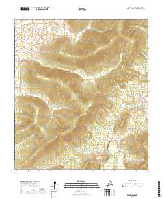
2017 · Ophir C-3 NE
USGS Topo · 1:25,000
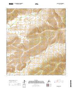
2017 · Ophir D-3 SE
USGS Topo · 1:25,000
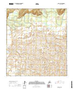
2017 · Ophir C-3 SE
USGS Topo · 1:25,000
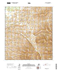
2019 · Ophir C-2 SW
USGS Topo · 1:25,000