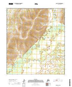
2019 Map of Ophir D-1 NW
USGS Topo · Published 2019About this map
North Fork Innoko River dominates this interior landscape of the Yukon-Koyukuk Census Area, its path marked by complex meanders and oxbow formations. This 2019 survey captures the hydrological character of the region before human infrastructure significantly altered the drainage basins. The southern portion of the quadrangle is defined by the winding course of Fourmile Cr, which feeds into the larger river system. The map reflects a remote wilderness environment where natural topography and seasonal water flow are the primary geographical features, illustrating the vast roadless stretches of Alaska's interior. Researchers can study the relationship between the elevated terrain in the north and the alluvial plains to the south, which dictate the shifting course of the river channels over time.
Find a feature on this map
8 named features on this map. Tap any name to fly to it.
Don’t see what you’re looking for? This feature index may not catch every label — zoom into the map to look around manually.
Map Details
Editions of this 2019 Ophir D-1 NW Map
This is the sole edition of this map. No revisions or reprints were ever made.
Other maps of this area

1945 · Nulato
USGS Topo · 1:250,000

1951 · Ophir
USGS Topo · 1:250,000

1951 · Nulato
USGS Topo · 1:250,000

1952 · Nulato A-2
USGS Topo · 1:63,360
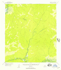
1952 · Nulato A-1
USGS Topo · 1:63,360

1952 · Nulato
USGS Topo · 1:250,000
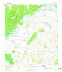
1954 · Ophir D-1
USGS Topo · 1:63,360
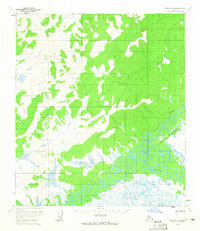
1954 · Ophir D-2
USGS Topo · 1:63,360

1954 · Ophir
USGS Topo · 1:250,000

1964 · Nulato
USGS Topo · 1:250,000