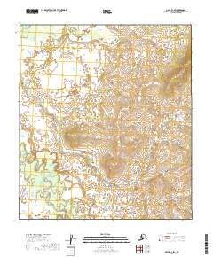
2019 Map of Ophir D-1 SW
USGS Topo · Published 2019About this map
The meandering Innoko River defines the southwestern corner of this interior Alaskan landscape, characterized by the low-lying wetlands and complex hydraulic patterns of the Yukon-Koyukuk region. In this unpopulated expanse, the shifting course of Slow Cr snakes through the central and northern sections of the map, illustrating the slow drainage typical of the subarctic river systems. The terrain is marked primarily by these watercourses and the established surveying boundaries of t19s r12e, t19s r13e, t20s r12e, and t20s r13e. This 2019 data release provides a precise record of the natural hydrology and elevation contours before any modern infrastructure touched this particular reach of the river basin.
Find a feature on this map
6 named features on this map. Tap any name to fly to it.
Don’t see what you’re looking for? This feature index may not catch every label — zoom into the map to look around manually.
Map Details
Editions of this 2019 Ophir D-1 SW Map
This is the sole edition of this map. No revisions or reprints were ever made.
Other maps of this area

1951 · Ophir
USGS Topo · 1:250,000
1954 · Ophir D-1
USGS Topo · 1:63,360

1954 · Ophir C-1
USGS Topo · 1:63,360

1954 · Ophir C-2
USGS Topo · 1:63,360
1954 · Ophir D-2
USGS Topo · 1:63,360

1954 · Ophir
USGS Topo · 1:250,000
2019 · Ophir C-1 NE
USGS Topo · 1:25,000
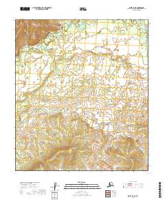
2019 · Ophir D-1 NE
USGS Topo · 1:25,000
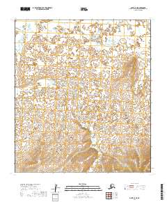
2019 · Ophir C-2 NE
USGS Topo · 1:25,000
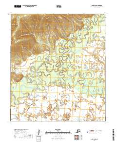
2019 · Ophir D-2 SE
USGS Topo · 1:25,000