2024 Map of Opp West
USGS Topo · Published 2024About this map
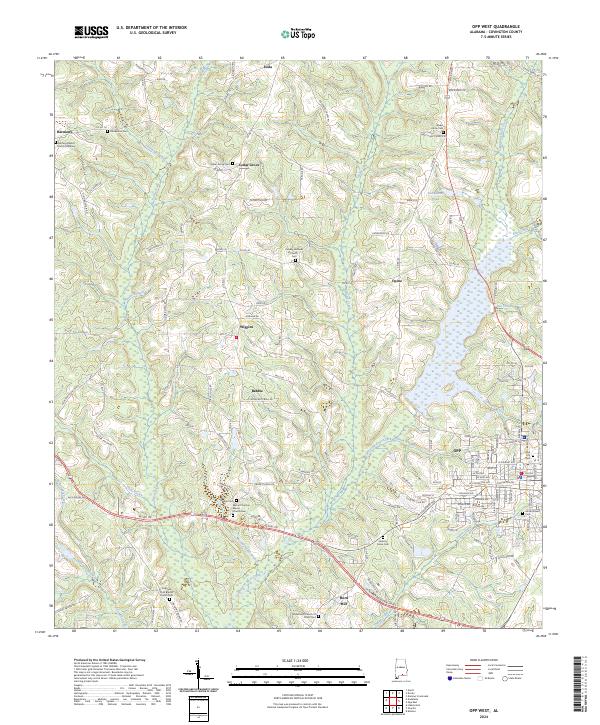
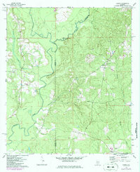
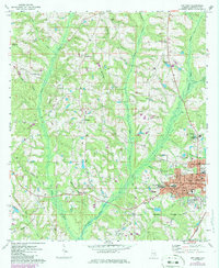
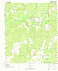
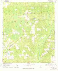
Opp and the surrounding rural landscapes of Covington County define this area, where the headwaters of the Yellow River and numerous creeks carve through the terrain. The map documents a dense network of family and community landmarks, particularly evident in the concentration of burial grounds like the Harmony Baptist Church Cemetery and Cedar Grove Cem. The settlement pattern follows older transit corridors, from the established streets around Opp City Hall to the outlying communities of Babbie, Wiggins, and Opine. Water management and local geography are highlighted by features such as Donaldson Pond and the winding course of Lightwood Knot Creek. This recent survey provides a precise view of the modern road network, including Rodgers Loop and the Veterans Memorial Pkwy, while preserving the location of long-standing spiritual centers like Sweet Home Church and the Gridertown Church of Christ.
Find a feature on this map
146 named features on this map. Tap any name to fly to it.
Don’t see what you’re looking for? This feature index may not catch every label — zoom into the map to look around manually.
Map Details
Editions of this 2024 Opp West Map
This is the sole edition of this map. No revisions or reprints were ever made.
Historical Maps of Eoda Through Time
14 maps found
1969 Hacoda
Covington County, AL
1971 Bradley
Covington County, AL
1971 Dixie
Covington County, AL
1971 Loango
Covington County, AL
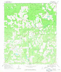
1971 Opp West
Covington County, AL
1971 Watkins Bridge
Covington County, AL
1971 Wing
Covington County, AL
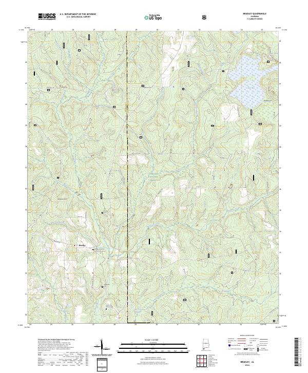
2024 Bradley
Covington County, AL
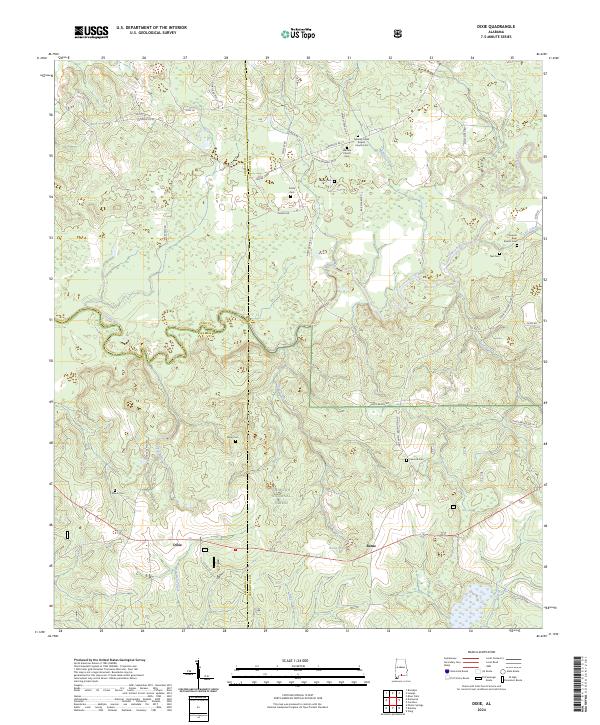
2024 Dixie
Covington County, AL
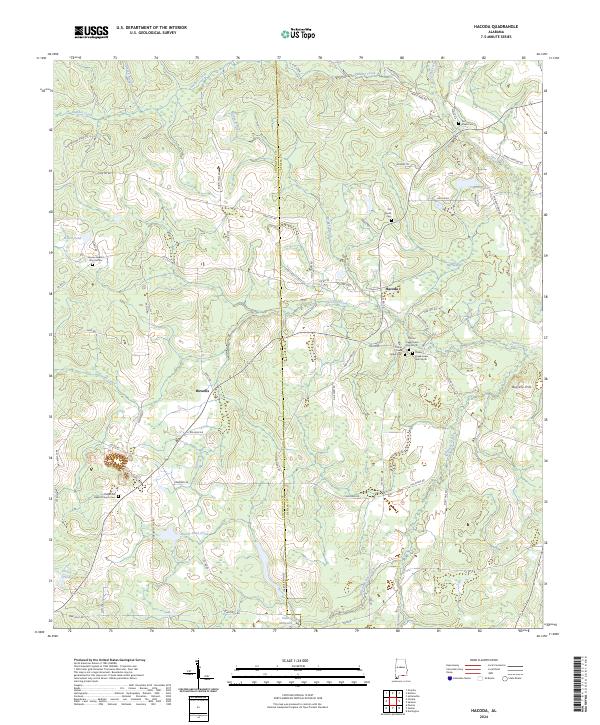
2024 Hacoda
Covington County, AL
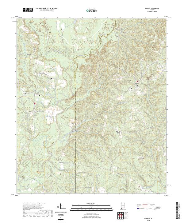
2024 Loango
Covington County, AL
2024 Opp West
Covington County, AL
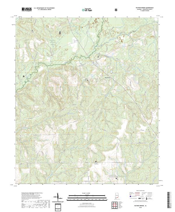
2024 Watkins Bridge
Covington County, AL
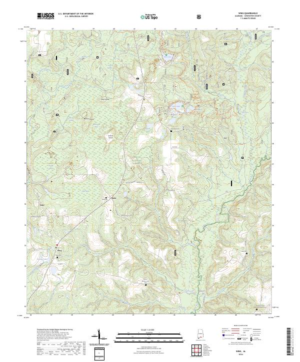
2024 Wing
Covington County, AL