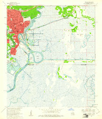
1960 Map of Orange
USGS Topo · Published 1961About this map
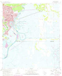
The U S Naval Station and the deep-water Turning Basin anchor this 1960 revision of the Texas-Louisiana borderlands. The industrial and maritime character of Orange is defined by the heavy rail presence of the Southern Pacific and Missouri Pacific lines, which supported the city's growth along the Sabine River. Local life is documented through numerous educational and religious landmarks, including St Marys High Sch, Hebrew Sch, and St Theresa Sch, alongside civic staples like the Courthouse and City Hall.
Find a feature on this map
58 named features on this map. Tap any name to fly to it.
Don’t see what you’re looking for? This feature index may not catch every label — zoom into the map to look around manually.
Map Details
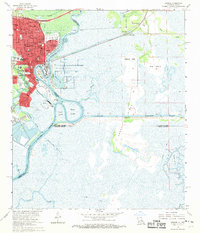
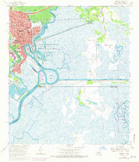
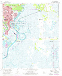
Editions of this 1960 Orange Map
5 editions found
Other maps of this area

1926 · Mauriceville
USGS Topo · 1:24,000

1932 · Orange
USGS Topo · 1:62,500

1932 · Port Arthur NE
USGS Topo · 1:31,680

1934 · Greens Bayou
USGS Topo · 1:24,000

1934 · Five Lakes
USGS Topo · 1:24,000

1935 · Five Lakes
USGS Topo · 1:31,680

1935 · Greens Bayou
USGS Topo · 1:31,680

1943 · West of Greens Bayou
USGS Topo · 1:24,000

1943 · Orangefield
USGS Topo · 1:24,000

1943 · Mauriceville
USGS Topo · 1:24,000