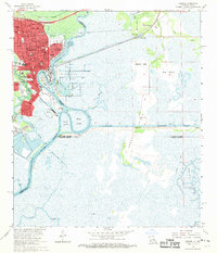
1960 Map of Orange
USGS Topo · Published 1970About this map
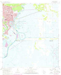
The Sabine River serves as the focal point for this 1960 revision, defining the boundary between Texas and Louisiana. The city of Orange is heavily industrialized, evidenced by the large Turning Basin and the presence of the US Naval Station on the river's western bank. Navigation and commerce are central to the landscape, with the Intracoastal Waterway cutting through the marshlands and the Missouri Pacific railroad serving the urban core.
Find a feature on this map
69 named features on this map. Tap any name to fly to it.
Don’t see what you’re looking for? This feature index may not catch every label — zoom into the map to look around manually.
Map Details
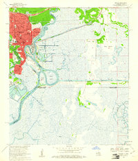
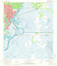
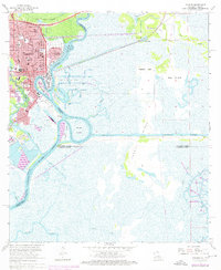
Editions of this 1960 Orange Map
5 editions found
Other maps of this area

1926 · Mauriceville
USGS Topo · 1:24,000

1932 · Orange
USGS Topo · 1:62,500

1932 · Port Arthur NE
USGS Topo · 1:31,680

1934 · Greens Bayou
USGS Topo · 1:24,000

1934 · Five Lakes
USGS Topo · 1:24,000

1935 · Five Lakes
USGS Topo · 1:31,680

1935 · Greens Bayou
USGS Topo · 1:31,680

1943 · West of Greens Bayou
USGS Topo · 1:24,000

1943 · Orangefield
USGS Topo · 1:24,000

1943 · Mauriceville
USGS Topo · 1:24,000