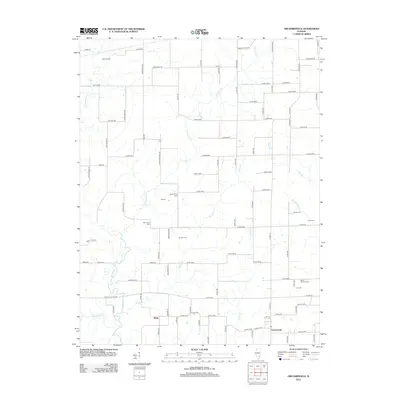
2012 Map of Orchardville
USGS Topo · Published 2012About this map
The Skillet Fork river meanders through this portion of Wayne County, defining the western edge of a landscape characterized by agricultural grid-roads and scattered rural centers. Small communities such as Orchardville and Helm are situated along the primary local thoroughfares, while the Iuka Oil Field in the northwest corner points to the region's mineral extraction history.
Find a feature on this map
58 named features on this map. Tap any name to fly to it.
Don’t see what you’re looking for? This feature index may not catch every label — zoom into the map to look around manually.
Map Details
Editions of this 2012 Orchardville Map
This is the sole edition of this map. No revisions or reprints were ever made.
Other maps of this area

1933 · Mount Vernon
USGS Topo · 1:48,000

1934 · Salem
USGS Topo · 1:62,500

1938 · Salem
USGS Topo · 1:62,500

1940 · Mount Vernon
USGS Topo · 1:62,500

1947 · Wayne City
USGS Topo · 1:62,500

1952 · Xenia
USGS Topo · 1:62,500

1958 · Belleville
USGS Topo · 1:250,000

1962 · Belleville
USGS Topo · 1:250,000

1965 · Iuka
USGS Topo · 1:24,000
1965 · Harmony
USGS Topo · 1:24,000