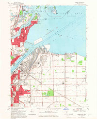
1965 Map of Oregon
USGS Topo · Published 1966About this map
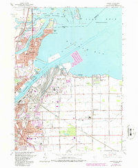
Maumee Bay and the industrial waterfront of Toledo dominate this mid-1960s survey, capturing the convergence of massive rail infrastructure and Great Lakes shipping. The Norfolk and Western Railway and the Terminal RR serve the heavy port facilities at Presque Isle and the Homestead Yard, while the nearby settlement of Ironville sits at the heart of this transportation nexus. To the east, the community of Oregon transitions from dense residential blocks into a landscape of drainage ditches and expansive open spaces like Pearson Park.
Find a feature on this map
94 named features on this map. Tap any name to fly to it.
Don’t see what you’re looking for? This feature index may not catch every label — zoom into the map to look around manually.
Map Details
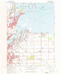
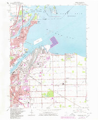
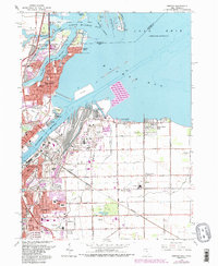
Editions of this 1965 Oregon Map
5 editions found
Other maps of this area

1900 · Maumee Bay
USGS Topo · 1:62,500

1900 · Toledo
USGS Topo · 1:62,500

1912 · Monroe
USGS Topo · 1:62,500

1912 · Dundee
USGS Topo · 1:62,500

1914 · Monroe
USGS Topo · 1:62,500

1926 · Dundee
USGS Topo · 1:62,500

1934 · Reno Beach
USGS Topo · 1:24,000

1934 · Point Place
USGS Topo · 1:24,000

1934 · Rossford
USGS Topo · 1:24,000

1935 · Walbridge
USGS Topo · 1:24,000