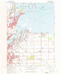
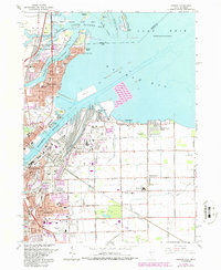
1965 Map of Oregon
USGS Topo · Published 1976About this map
Maumee Bay defines the northern reaches of this mid-1960s study, where the Michigan-Ohio state line crosses open water near North Cape and Gard Island. On the southern shore, the industrial landscape of eastern Toledo and the growing residential blocks of Oregon show a complex network of infrastructure. Massive rail operations are evident at Homestead Yard and along the Terminal RR, serving the shipping facilities at Presque Isle and the mouth of the Maumee River.
Find a feature on this map
69 named features on this map. Tap any name to fly to it.
Don’t see what you’re looking for? This feature index may not catch every label — zoom into the map to look around manually.
Map Details
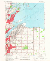
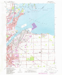
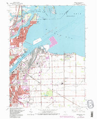
Editions of this 1965 Oregon Map
5 editions found
Other maps of this area

1900 · Maumee Bay
USGS Topo · 1:62,500

1900 · Toledo
USGS Topo · 1:62,500

1912 · Monroe
USGS Topo · 1:62,500

1912 · Dundee
USGS Topo · 1:62,500

1914 · Monroe
USGS Topo · 1:62,500

1926 · Dundee
USGS Topo · 1:62,500

1934 · Reno Beach
USGS Topo · 1:24,000

1934 · Point Place
USGS Topo · 1:24,000

1934 · Rossford
USGS Topo · 1:24,000

1935 · Walbridge
USGS Topo · 1:24,000