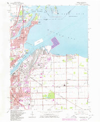
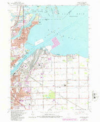
1965 Map of Oregon
USGS Topo · Published 1980About this map
Maumee Bay and the industrial waterfront of Toledo dominate this landscape during a period of significant coastal and urban transition. The map captures the dense network of infrastructure supporting the regional economy, including the Toledo Terminal RR and the Homestead Yard, which service the manufacturing and shipping hubs along the Maumee River. Smaller, residential pockets like Harbor View, Immergrun, and Momeneetown are nestled between large industrial sites and the extensive Erie State Game Area to the north.
Find a feature on this map
106 named features on this map. Tap any name to fly to it.
Don’t see what you’re looking for? This feature index may not catch every label — zoom into the map to look around manually.
Map Details
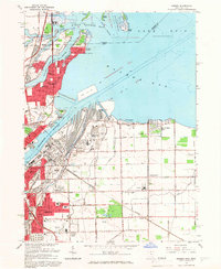
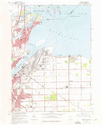
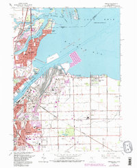
Editions of this 1965 Oregon Map
5 editions found
Other maps of this area

1900 · Maumee Bay
USGS Topo · 1:62,500

1900 · Toledo
USGS Topo · 1:62,500

1912 · Monroe
USGS Topo · 1:62,500

1912 · Dundee
USGS Topo · 1:62,500

1914 · Monroe
USGS Topo · 1:62,500

1926 · Dundee
USGS Topo · 1:62,500

1934 · Reno Beach
USGS Topo · 1:24,000

1934 · Point Place
USGS Topo · 1:24,000

1934 · Rossford
USGS Topo · 1:24,000

1935 · Walbridge
USGS Topo · 1:24,000