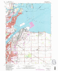
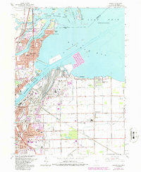
1965 Map of Oregon
USGS Topo · Published 1986About this map
The industrial and maritime landscape of the western basin of Lake Erie defines this area during the mid-1960s. The shoreline is a complex mix of recreational and industrial use, featuring the dense development of Toledo and Oregon alongside established neighborhoods like Point Place and Carland Beach. The influence of the Maumee River is central to the local economy, shown through the extensive rail infrastructure of the Toledo Terminal and Wheeling and Lake Erie lines that service the docks at Presque Isle and Harbor View.
Find a feature on this map
68 named features on this map. Tap any name to fly to it.
Don’t see what you’re looking for? This feature index may not catch every label — zoom into the map to look around manually.
Map Details
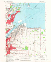
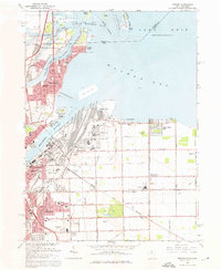
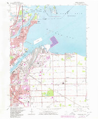
Editions of this 1965 Oregon Map
5 editions found
Other maps of this area

1900 · Maumee Bay
USGS Topo · 1:62,500

1900 · Toledo
USGS Topo · 1:62,500

1912 · Monroe
USGS Topo · 1:62,500

1912 · Dundee
USGS Topo · 1:62,500

1914 · Monroe
USGS Topo · 1:62,500

1926 · Dundee
USGS Topo · 1:62,500

1934 · Reno Beach
USGS Topo · 1:24,000

1934 · Point Place
USGS Topo · 1:24,000

1934 · Rossford
USGS Topo · 1:24,000

1935 · Walbridge
USGS Topo · 1:24,000