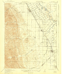
1919 Map of Orestimba
USGS Topo · Published 1943About this map
The Rancho Del Puerto and Orestimba land grants anchor this valley landscape, where the Southern Pacific railroad parallels the western bank of the San Joaquin River. The map captures a sophisticated irrigation network vital to the region's agricultural development, defined by the King's River and San Joaquin Irrigation Company Canal and a grid of numbered laterals, from Lateral A to Lateral L. Centered on the Stimba Pumping Station, this infrastructure transformed the arid valley floor between the river and the rising foothills.
Find a feature on this map
43 named features on this map. Tap any name to fly to it.
Don’t see what you’re looking for? This feature index may not catch every label — zoom into the map to look around manually.
Map Details
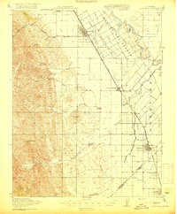
Editions of this 1919 Orestimba Map
3 editions found

Other maps of this area

1913 · Romain
USGS Topo · 1:31,680

1915 · Westport
USGS Topo · 1:31,680

1915 · Westley
USGS Topo · 1:31,680

1916 · Mitchell School
USGS Topo · 1:31,680

1916 · Crows Landing
USGS Topo · 1:31,680

1916 · Patterson
USGS Topo · 1:31,680

1916 · Romain
USGS Topo · 1:31,680

1916 · Ceres
USGS Topo · 1:31,680

1917 · Newman
USGS Topo · 1:31,680

1918 · Gustine
USGS Topo · 1:31,680