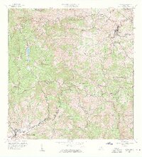
1957 Map of Orocovis
USGS Topo · Published 1960About this map
Orocovis stands as the primary urban center in this high-altitude interior region of Puerto Rico, where the ridge lines of the Cordillera Central dictate the layout of roads and barrios. The topography is defined by significant elevations such as Cerro Dona Juana, which overlooks the northern waters of Lago de Matrullas. This 1957 revision reveals a landscape of dispersed agricultural activity, noted by the presence of Hacienda Limon and the Escuela Segunda Unidad de Bauta, serving the surrounding rural communities. The intricate drainage network is anchored by the Rio Bauta and Rio Sana Muerto, while smaller settlements like Villalba and Céspedes occupy the southern foothills. For genealogists and local historians, the map preserves the exact boundaries of numerous barrios, including Hato Puerco Arriba and Pellejas, alongside religious landmarks like the Capilla de San José.
Find a feature on this map
60 named features on this map. Tap any name to fly to it.
Don’t see what you’re looking for? This feature index may not catch every label — zoom into the map to look around manually.
Map Details
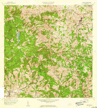
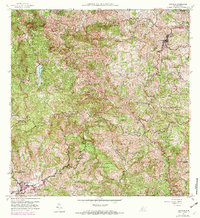
Editions of this 1957 Orocovis Map
3 editions found
Other maps of this area

1945 · Ponce
USGS Topo · 1:30,000

1945 · Rio Descalabrado
USGS Topo · 1:30,000

1946 · Coamo
USGS Topo · 1:30,000

1946 · Corozal
USGS Topo · 1:30,000

1946 · Barranquitas
USGS Topo · 1:30,000

1946 · Ciales
USGS Topo · 1:30,000

1946 · Jayuya
USGS Topo · 1:30,000

1946 · Florida
USGS Topo · 1:30,000

1946 · Orocovis
USGS Topo · 1:30,000

1947 · Corozal SO
USGS Topo · 1:10,000