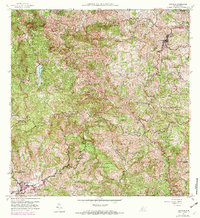
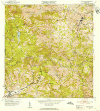
1957 Map of Orocovis
USGS Topo · Published 1982About this map
The high peaks of the Cordillera Central define this mid-century survey of central Puerto Rico, dominated by the sharp elevation changes between Orocovis and Villalba. The landscape is a network of barrios including Damian Abajo, Pellejas, and Bermejales, reflecting a rural agricultural economy centered around coffee and tobacco production. Notable landmarks such as Hacienda Limón and the Escuela Segunda Unidad de Bauta point to the social and economic infrastructure of the 1950s interior. Water resources are prominent, featuring the Lago de Matrullas reservoir and the headwaters of the Rio Bauta and Rio Jacaguas. For the local historian, the map preserves the exact locations of rural community anchors like the Capilla de Santa Ana and small settlements like Céspedes before later modern developments altered the regional road networks and mountain footprints.
Find a feature on this map
48 named features on this map. Tap any name to fly to it.
Don’t see what you’re looking for? This feature index may not catch every label — zoom into the map to look around manually.
Map Details
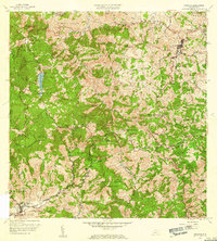
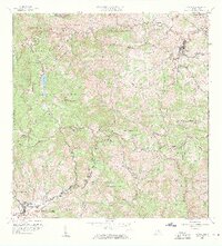
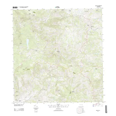
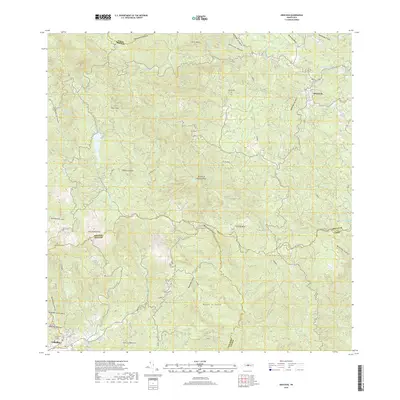
Editions of this 1957 Orocovis Map
3 editions found
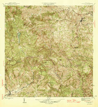
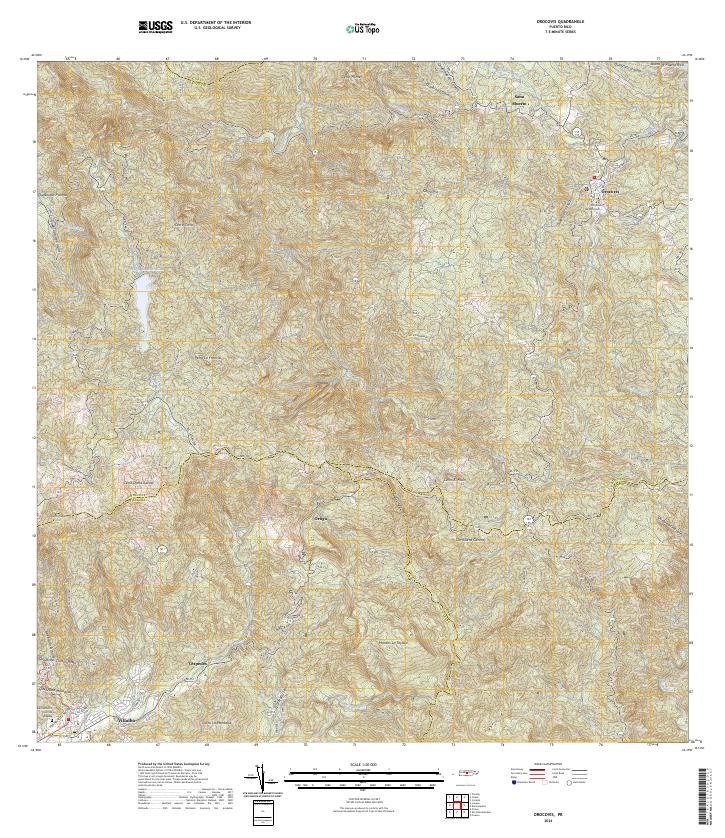
Historical Maps of Villalba Through Time
6 maps found
Featured Locations
- Sector La Vaquería, Orocovis
- Miraflores, Orocovis
- Orocovis, Orocovis
- Sector Díaz, Orocovis
- Villalba, Villalba