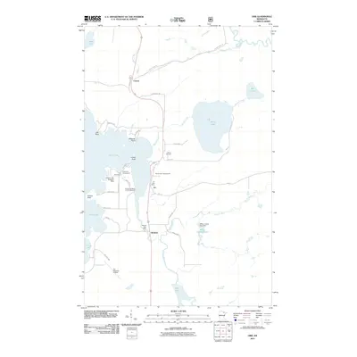
2011 Map of Orr
USGS Topo · Published 2011About this map
Pelican Lake dominates this northern Minnesota landscape, its intricate shoreline defined by points like Indian Point and Bessette Point. The settlement of Orr serves as a central hub, situated where the Orr Post Office and local roads meet the water's edge. The area is a mosaic of aquatic and recreational features, including the Pelican Lake Seaplane Base and various landings like Chippewa Campground and Pine Acres Resort and Campground.
Find a feature on this map
46 named features on this map. Tap any name to fly to it.
Don’t see what you’re looking for? This feature index may not catch every label — zoom into the map to look around manually.
Map Details
Editions of this 2011 Orr Map
This is the sole edition of this map. No revisions or reprints were ever made.
Other maps of this area

1954 · Hibbing
USGS Topo · 1:250,000

1954 · International Falls
USGS Topo · 1:250,000

1957 · Hibbing
USGS Topo · 1:250,000

1957 · International Falls
USGS Topo · 1:250,000

1958 · International Falls
USGS Topo · 1:250,000

1958 · Hibbing
USGS Topo · 1:250,000

1964 · Hibbing
USGS Topo · 1:250,000

1964 · Haley
USGS Topo · 1:24,000

1964 · Gheen NW
USGS Topo · 1:24,000

1964 · Gheen
USGS Topo · 1:24,000