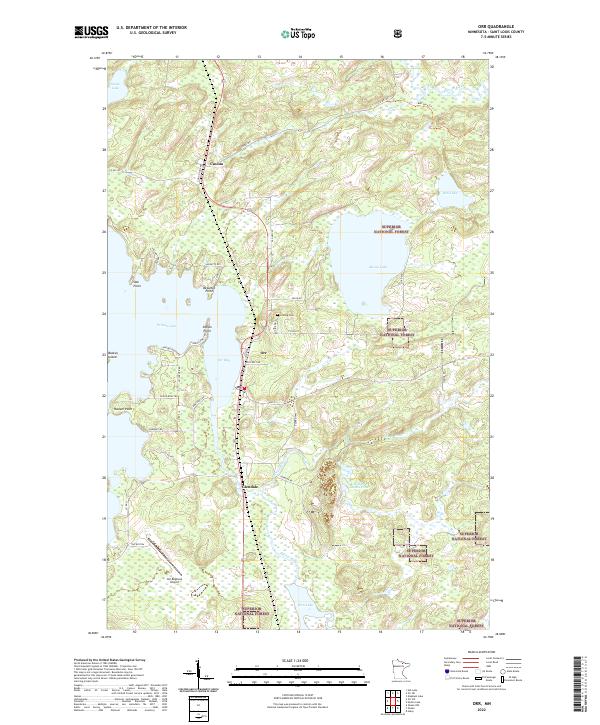
2022 Map of Orr
USGS Topo · Published 2022About this map
The settlement of Orr sits at the head of Orr Bay, serving as a central gateway to the waterways of Northern Minnesota. This 2022 survey captures the modern road network and land divisions within the Superior National Forest, where the landscape is defined by the expansive Pelican Lake and its intricate shoreline. The map documents smaller communities such as Cusson to the north and Glendale to the south, connected by a transit corridor that includes Old Hwy 53 and the Orr Regional Airport. Local genealogy and land use are rooted in sites like Leiding Cem and residential clusters at Bessette Point. The hydrography of the region is particularly dense, with the Pelican River and Elbow River winding through timberlands and wetlands toward larger bodies of water like Moose Lake and Rice Lake.
Find a feature on this map
49 named features on this map. Tap any name to fly to it.
Don’t see what you’re looking for? This feature index may not catch every label — zoom into the map to look around manually.
Map Details
Editions of this 2022 Orr Map
This is the sole edition of this map. No revisions or reprints were ever made.
Other maps of this area

1954 · Hibbing
USGS Topo · 1:250,000

1954 · International Falls
USGS Topo · 1:250,000

1957 · Hibbing
USGS Topo · 1:250,000

1957 · International Falls
USGS Topo · 1:250,000

1958 · International Falls
USGS Topo · 1:250,000

1958 · Hibbing
USGS Topo · 1:250,000

1964 · Hibbing
USGS Topo · 1:250,000

1964 · Haley
USGS Topo · 1:24,000

1964 · Gheen NW
USGS Topo · 1:24,000

1964 · Gheen
USGS Topo · 1:24,000