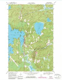
1968 Map of Orr
USGS Topo · Published 1987About this map
Orr serves as the central hub of this northern Minnesota landscape, situated along the eastern shore of Orr Bay within the larger Pelican Lake. The town is bisected by the Duluth Winnipeg and Pacific railroad, which runs north-south through the settlements of Cusson and Glendale. This transportation corridor is vital to the region's connectivity amidst the dense woods of the Kabetogama State Forest.
Find a feature on this map
30 named features on this map. Tap any name to fly to it.
Don’t see what you’re looking for? This feature index may not catch every label — zoom into the map to look around manually.
Map Details
Editions of this 1968 Orr Map
This is the sole edition of this map. No revisions or reprints were ever made.
Other maps of this area

1954 · Hibbing
USGS Topo · 1:250,000

1954 · International Falls
USGS Topo · 1:250,000

1957 · Hibbing
USGS Topo · 1:250,000

1957 · International Falls
USGS Topo · 1:250,000

1958 · International Falls
USGS Topo · 1:250,000

1958 · Hibbing
USGS Topo · 1:250,000

1964 · Hibbing
USGS Topo · 1:250,000

1964 · Haley
USGS Topo · 1:24,000

1964 · Gheen NW
USGS Topo · 1:24,000

1964 · Gheen
USGS Topo · 1:24,000