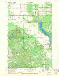
1969 Map of Osage
USGS Topo · Published 1971About this map
The Osage community serves as the primary hub of this 1960s Becker County landscape, situated where the Shell River meets the eastern shores of Straight Lake. The map reveals a transition between managed timberlands and pioneer-era landmarks, notably the White Earth Indian Reservation Boundary cutting across the northern sections. Topographic high points are anchored by the Smoky Hills Lookout Tower within the Smoky Hills State Forest, overlooking a complex system of glacial basins including Bottomless Lake, Gyles Lake, and Elbow Lake.
Find a feature on this map
26 named features on this map. Tap any name to fly to it.
Don’t see what you’re looking for? This feature index may not catch every label — zoom into the map to look around manually.
Map Details
Editions of this 1969 Osage Map
2 editions found
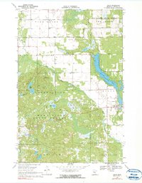
Other maps of this area

1953 · Brainerd
USGS Topo · 1:250,000

1954 · Bemidji
USGS Topo · 1:250,000

1957 · Brainerd
USGS Topo · 1:250,000

1957 · Bemidji
USGS Topo · 1:250,000

1958 · Bemidji
USGS Topo · 1:250,000

1958 · Brainerd
USGS Topo · 1:250,000

1965 · Brainerd
USGS Topo · 1:250,000

1969 · Wolf Lake
USGS Topo · 1:24,000

1969 · Evergreen
USGS Topo · 1:24,000

1969 · Park Rapids SW
USGS Topo · 1:24,000