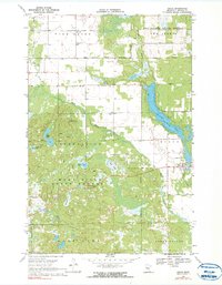
1969 Map of Osage
USGS Topo · Published 1991About this map
The village of Osage serves as a central point in this northern Minnesota landscape, situated where the Shell River meets the distinctive narrow expanse of Straight Lake. Established patterns of rural life are evident through the placement of St Pauls Ch and several local burial grounds, including Osage Cem and the Linnell Cem. The topography is defined by the transition between the rolling hills of the Smoky Hills and the dense woodlands of the Two Inlets State Forest.
Find a feature on this map
31 named features on this map. Tap any name to fly to it.
Don’t see what you’re looking for? This feature index may not catch every label — zoom into the map to look around manually.
Map Details
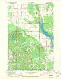
Editions of this 1969 Osage Map
2 editions found
Other maps of this area

1953 · Brainerd
USGS Topo · 1:250,000

1954 · Bemidji
USGS Topo · 1:250,000

1957 · Brainerd
USGS Topo · 1:250,000

1957 · Bemidji
USGS Topo · 1:250,000

1958 · Bemidji
USGS Topo · 1:250,000

1958 · Brainerd
USGS Topo · 1:250,000

1965 · Brainerd
USGS Topo · 1:250,000

1969 · Wolf Lake
USGS Topo · 1:24,000

1969 · Evergreen
USGS Topo · 1:24,000

1969 · Park Rapids SW
USGS Topo · 1:24,000