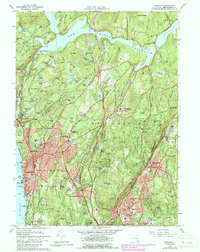
1967 Map of Ossining
USGS Topo · Published 1988About this map
Sing Sing Prison anchors the riverfront in this mid-century portrait of Westchester County, where the industrial edge of Ossining meets the expansive estates and academic institutions of the interior. The landscape is defined by the massive engineering of the Croton Reservoir and the New Croton Dam, which redirected the natural flow of the Croton River to serve the growing needs of the region. This era shows a transition from rural industry, marked by the Emery Mines and the Quarry on Stayback Hill, toward a more suburban and institutional character.
Find a feature on this map
135 named features on this map. Tap any name to fly to it.
Don’t see what you’re looking for? This feature index may not catch every label — zoom into the map to look around manually.
Map Details
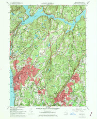
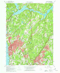
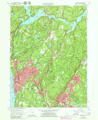
Editions of this 1967 Ossining Map
4 editions found
Other maps of this area

1892 · Stamford
USGS Topo · 1:62,500

1892 · West Point
USGS Topo · 1:62,500

1892 · Carmel
USGS Topo · 1:62,500

1892 · Tarrytown
USGS Topo · 1:62,500

1893 · Carmel
USGS Topo · 1:62,500

1893 · Stamford
USGS Topo · 1:62,500

1893 · Tarrytown
USGS Topo · 1:62,500

1894 · West Point
USGS Topo · 1:62,500

1894 · Carmel
USGS Topo · 1:62,500

1899 · Stamford
USGS Topo · 1:62,500