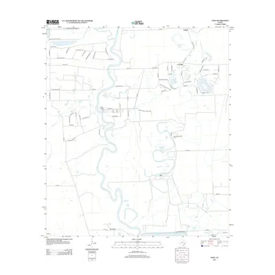
2013 Map of Otey
USGS Topo · Published 2013About this map
The Brazos River snakes through this coastal prairie landscape, defining the boundaries of local industry and rural settlement south of the Greater Houston area. Much of the eastern terrain is dominated by the extensive Ramsey State Prison Farm, a large institutional tract bounded by the winding course of Oyster Cr. Small communities such as Otey and Lochridge anchor the local road network, while the southern edge of the map features significant water management sites like the Harris Reservoir and River Lake.
Find a feature on this map
85 named features on this map. Tap any name to fly to it.
Don’t see what you’re looking for? This feature index may not catch every label — zoom into the map to look around manually.
Map Details
Editions of this 2013 Otey Map
This is the sole edition of this map. No revisions or reprints were ever made.
Other maps of this area
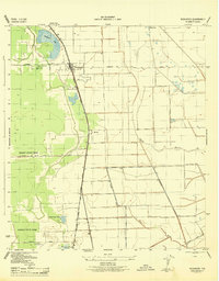
1943 · Rosharon
USGS Topo · 1:31,680
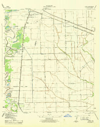
1943 · Juliff
USGS Topo · 1:31,680
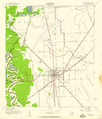
1943 · Angleton
USGS Topo · 1:24,000
1950 · Houston
USGS Topo · 1:250,000
1952 · West Columbia
USGS Topo · 1:24,000
1952 · East Columbia
USGS Topo · 1:24,000
1953 · Lake George
USGS Topo · 1:24,000
1953 · Damon
USGS Topo · 1:24,000
1953 · Otey
USGS Topo · 1:24,000
1953 · Thompsons
USGS Topo · 1:24,000