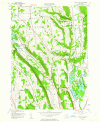
1955 Map of Otisco Valley
USGS Topo · Published 1962About this map
The glacial valley of Otisco Lake and the interconnected chain of the Tully Lakes define this central New York landscape. This mid-century survey captures the rural character of the region as the uplands were transitioning toward conservation, evidenced by the State Reforestation Area in the south. The eastern portion of the map showcases a dense concentration of water bodies including Crooked Lake, Green Lake, and Song Lake, which supported seasonal recreational sites like Assembly Park and Camp Hoover.
Find a feature on this map
70 named features on this map. Tap any name to fly to it.
Don’t see what you’re looking for? This feature index may not catch every label — zoom into the map to look around manually.
Map Details
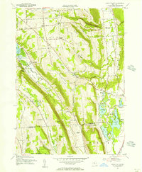
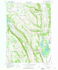
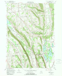
Editions of this 1955 Otisco Valley Map
4 editions found
Other maps of this area

1898 · Moravia
USGS Topo · 1:62,500

1899 · Skaneateles
USGS Topo · 1:62,500

1900 · Tully
USGS Topo · 1:62,500

1902 · Skaneateles
USGS Topo · 1:62,500

1902 · Moravia
USGS Topo · 1:62,500

1903 · Cortland
USGS Topo · 1:62,500

1943 · South Onondaga
USGS Topo · 1:31,680

1943 · Spafford
USGS Topo · 1:31,680

1943 · Jamesville
USGS Topo · 1:31,680

1943 · Otisco Valley
USGS Topo · 1:31,680